7-day forecast
Open-Meteo · trail point · local dates · last updated Nov 11, 2026, 3:10 PM PTThu 12
Light rain
8°C / -0°C
100% · 6.0 mm
Wind 15 km/h
PoorFri 13
Overcast
-0°C / -4°C
45% · 0.0 mm
Wind 17 km/h
FairSat 14
Mainly clear
2°C / -4°C
0% · 0.0 mm
Wind 10 km/h
GoodSun 15
Light rain
6°C / 2°C
41% · 2.2 mm
Wind 13 km/h
FairMon 16
Thunderstorm
5°C / 1°C
73% · 49.7 mm
Wind 30 km/h
PoorTue 17
Rain
9°C / 0°C
85% · 34.6 mm
Wind 15 km/h
PoorWed 18
Rain showers
7°C / 4°C
92% · 13.8 mm
Wind 24 km/h
PoorRoute
No route line in this build. No OpenStreetMap route relation is linked for this trail.
About this trail
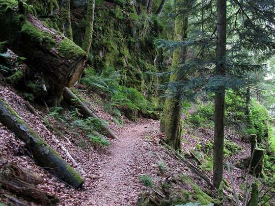
The Alpine Path is one of the highest hiking trails in the Black Forest. Between Hüttenwasen and Stübenwasen the path runs largely horizontally across the rocky northern mountainside of the Feldberg in southern Germany. The trail is 3½ kilometres long and was abandoned by the forestry authorities in order to encourage the development of nature.
From the Wikipedia article “Alpine Path”, CC BY-SA 4.0.
Trail facts
Hiked it?
Log this hikeAdd a GPX file for the Verified Track badge. The first and last 500 m are trimmed off before anything is measured, and the file itself is not kept.
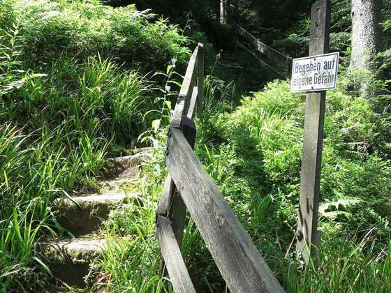
Photo: “Stufen am Alpinen Pfad.JPG” by Neptuna. Neptuna at German Wikipedia, CC BY-SA 3.0, via Wikimedia Commons (resized).