7-day forecast
Open-Meteo · trail point · local dates · last updated Nov 11, 2026, 3:10 PM PTThu 12
Partly cloudy
22°C / 6°C
0% · 0.0 mm
Wind 14 km/h
GoodFri 13
Drizzle
20°C / 11°C
59% · 1.1 mm
Wind 16 km/h
FairSat 14
Heavy drizzle
16°C / 10°C
100% · 6.3 mm
Wind 17 km/h
PoorSun 15
Drizzle
16°C / 3°C
54% · 3.1 mm
Wind 18 km/h
FairMon 16
Light drizzle
11°C / 1°C
43% · 2.1 mm
Wind 12 km/h
FairTue 17
Partly cloudy
14°C / 3°C
37% · 0.0 mm
Wind 13 km/h
FairWed 18
Fog
17°C / 5°C
14% · 0.0 mm
Wind 12 km/h
GoodRoute
No route line in this build. This is a very long route, so only its start point is used.
About this trail
The Australian Alps Walking Track is a long-distance walking trail through the alpine areas of Victoria, New South Wales and the ACT. It is 655 km long, starting at Walhalla, Victoria, and running through to Tharwa, near Canberra. The track weaves mainly through Australian national parks, such as Alpine National Park and Kosciuszko National Park, although it is not exclusively restricted to national parks. The official route passes close to many peaks including Mount Kosciuszko, Mount Bogong, and Bimberi Peak, the highest points in NSW, Victoria and the ACT respectively. The AAWT crosses exposed high plains including the Victorian Bogong High Plains and the Main Range in NSW. To walk the whole trail can take between 3 and 8 weeks. Food drops or a support crew are necessary as the trail does not pass through any towns, although it passes close to the ski resorts of Mt Hotham, Falls Creek, Mt Baw Baw, Thredbo, Charlotte Pass and Perisher. There is an active group of AAWT Track Angels able to help walkers by providing transport and food drops.
From the Wikipedia article “Australian Alps Walking Track”, CC BY-SA 4.0.
Trail facts
- Length
- 695 km · 432 mi (Wikidata)
- Countries
- Australia
- Continent
- Oceania
- Trail point
- -36.50531, 148.30400 (Wikidata coordinate)
- Wikidata
- Q4823802
- OpenStreetMap
- relation 1644959
- Official info
- theaustralianalpsnationalparks.org/experience/aa
Hiked it?
Log this hikeAdd a GPX file for the Verified Track badge. The first and last 500 m are trimmed off before anything is measured, and the file itself is not kept.
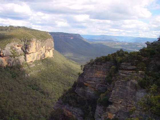
Photo: “Australianalpinewalkingtrack.jpg” by Maelgwn, CC BY 2.5, via Wikimedia Commons (resized).