7-day forecast
Open-Meteo · trail point · local dates · last updated Nov 11, 2026, 3:10 PM PTThu 12
Partly cloudy
27°C / 13°C
0% · 0.0 mm
Wind 19 km/h
GoodFri 13
Overcast
27°C / 13°C
0% · 0.0 mm
Wind 15 km/h
GoodSat 14
Heavy drizzle
29°C / 14°C
29% · 1.5 mm
Wind 26 km/h
FairSun 15
Overcast
24°C / 14°C
23% · 0.0 mm
Wind 25 km/h
GoodMon 16
Overcast
25°C / 14°C
12% · 0.0 mm
Wind 23 km/h
GoodTue 17
Overcast
27°C / 14°C
27% · 0.0 mm
Wind 22 km/h
GoodWed 18
Clear sky
27°C / 14°C
20% · 0.0 mm
Wind 18 km/h
GoodRoute
No route line in this build. This is a very long route, so only its start point is used.
About this trail
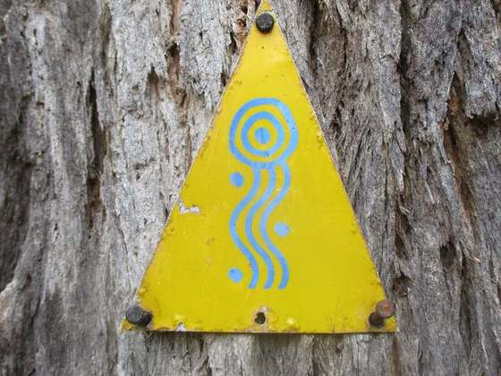
The Bibbulmun Track is a long-distance walk trail in Western Australia. It runs from Kalamunda in the east of Perth to Albany, and is 1,003.1 kilometres (623.3 mi) long. Managed by government agencies and with a foundation, the Bibbulmun Track traverses the Darling Range and has inspired reflections about the state of the Western Australian environment by William J. Lines in his book A long walk in the Australian bush.
From the Wikipedia article “Bibbulmun Track”, CC BY-SA 4.0.
Trail facts
- Length
- 1,003 km · 623 mi (Wikidata)
- Countries
- Australia
- Continent
- Oceania
- Trail point
- -31.97317, 116.06067 (Wikidata coordinate)
- Wikidata
- Q4902980
- OpenStreetMap
- relation 400098
- Official info
- bibbulmuntrack.org.au
Hiked it?
Log this hikeAdd a GPX file for the Verified Track badge. The first and last 500 m are trimmed off before anything is measured, and the file itself is not kept.
Photo: “Southern terminus of Bibbulmun Track in Alison Hartman Gardens with Albany Public Library in the background, April 2022 03.jpg” by Calistemon, CC BY-SA 4.0, via Wikimedia Commons (resized).