7-day forecast
Open-Meteo · trail point · local dates · last updated Nov 11, 2026, 3:10 PM PTThu 12
Rain
10°C / 4°C
100% · 33.0 mm
Wind 17 km/h
PoorFri 13
Light drizzle
8°C / 3°C
20% · 1.7 mm
Wind 15 km/h
FairSat 14
Overcast
9°C / 3°C
70% · 0.0 mm
Wind 8 km/h
PoorSun 15
Overcast
8°C / 2°C
75% · 0.3 mm
Wind 6 km/h
PoorMon 16
Light rain
8°C / -2°C
63% · 12.0 mm
Wind 11 km/h
FairTue 17
Light drizzle
7°C / -2°C
81% · 3.9 mm
Wind 5 km/h
PoorWed 18
Heavy drizzle
9°C / 5°C
76% · 11.4 mm
Wind 10 km/h
PoorRoute
No route line in this build. This is a very long route, so only its start point is used.
About this trail
The GR 11, also known as the ruta Transpirenaica in Spain, is part of the extensive GR footpath network of paths, tracks and trails. It runs through the Spanish Pyrenees, passing only briefly into France near Candanchu.
From the Wikipedia article “GR 11 (Spain)”, CC BY-SA 4.0.
Trail facts
- Length
- 840 km · 522 mi (Wikidata)
- Countries
- Andorra, Spain
- Continent
- Europe
- Trail point
- 42.59667, 0.73694 (Wikidata coordinate)
- Wikidata
- Q3176636
- OpenStreetMap
- relation 8865914
Hiked it?
Log this hikeAdd a GPX file for the Verified Track badge. The first and last 500 m are trimmed off before anything is measured, and the file itself is not kept.
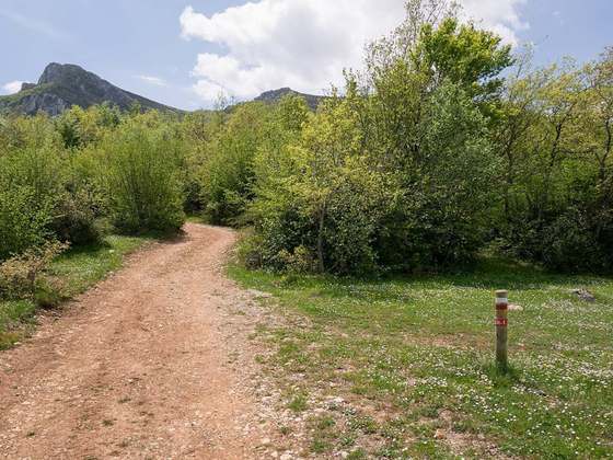
Photo: “Portella de Baiau.jpg” by JMiall, CC BY-SA 3.0, via Wikimedia Commons (resized).