7-day forecast
Open-Meteo · trail point · local dates · last updated Nov 11, 2026, 3:10 PM PTThu 12
Light rain
10°C / 9°C
100% · 15.6 mm
Wind 9 km/h
PoorFri 13
Light rain
18°C / 8°C
18% · 0.1 mm
Wind 11 km/h
FairSat 14
Overcast
11°C / 8°C
3% · 0.0 mm
Wind 12 km/h
GoodSun 15
Light rain
8°C / 4°C
40% · 1.8 mm
Wind 4 km/h
FairMon 16
Fog
9°C / 2°C
18% · 0.0 mm
Wind 3 km/h
GoodTue 17
Light rain
9°C / 2°C
32% · 1.4 mm
Wind 2 km/h
FairWed 18
Light rain
13°C / 6°C
36% · 5.5 mm
Wind 6 km/h
FairRoute
No route line in this build. This is a very long route, so only its start point is used.
About this trail
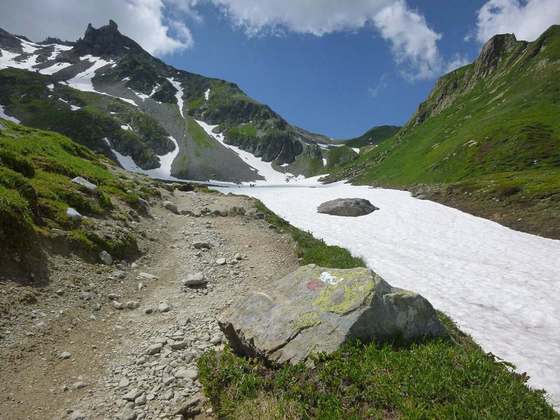
The Grande Traversata delle Alpi (GTA) is a long-distance hiking trail in the Italian region of Piedmont. In about 1,000 kilometres (620 mi) and 55 day hikes, it runs through the arc formed by the western Alps from the Pennine Alps through the Graian and Cottian Alps to the Maritime and Ligurian Alps. There are a number of transverse valleys along the route. Day hikes typically connect high-lying valley communities with each other via historic pass routes.
From the Wikipedia article “Grande Traversata delle Alpi”, CC BY-SA 4.0.
Trail facts
- Countries
- Italy
- Continent
- Europe
- Trail point
- 44.95972, 7.91944 (Wikidata coordinate)
- Wikidata
- Q942020
- OpenStreetMap
- relation 3159979
Hiked it?
Log this hikeAdd a GPX file for the Verified Track badge. The first and last 500 m are trimmed off before anything is measured, and the file itself is not kept.