7-day forecast
Open-Meteo · trail point · local dates · last updated Nov 11, 2026, 3:10 PM PTWed 11
Light drizzle
7°C / 1°C
12% · 0.4 mm
Wind 7 km/h
FairThu 12
Overcast
5°C / -2°C
0% · 0.0 mm
Wind 17 km/h
GoodFri 13
Partly cloudy
6°C / -2°C
0% · 0.0 mm
Wind 13 km/h
GoodSat 14
Overcast
6°C / 3°C
0% · 0.0 mm
Wind 22 km/h
GoodSun 15
Light rain
6°C / 4°C
59% · 5.5 mm
Wind 23 km/h
FairMon 16
Heavy drizzle
6°C / 3°C
67% · 14.6 mm
Wind 30 km/h
FairTue 17
Light drizzle
4°C / -0°C
42% · 0.6 mm
Wind 15 km/h
FairRoute
Route line © OpenStreetMap contributors (ODbL), simplified. Dot: trail point.
About this trail
The Lyke Wake Walk is a 40-mile (64 km) challenge walk across the highest and widest part of the North York Moors National Park in North Yorkshire, England. The route is named after the "Lyke-Wake Dirge" and commemorates the many corpses carried over the moors on various old coffin routes and the ancient burial mounds encountered on the way. The name derives from a lyke, the corpse, and the wake, the watch over the deceased. Its associated club has a social structure, culture and rituals based on the walk and Christian and folklore traditions from the area through which it passes.
From the Wikipedia article “Lyke Wake Walk”, CC BY-SA 4.0.
Trail facts
- Length
- 64 km · 40 mi (Wikidata)
- Countries
- United Kingdom
- Continent
- Europe
- Trail point
- 54.39623, -1.27289 (OpenStreetMap route (first mapped point))
- OSM network
- Regional walking network
- Wikidata
- Q6707839
- OpenStreetMap
- relation 1996318
Hiked it?
Log this hikeAdd a GPX file for the Verified Track badge. The first and last 500 m are trimmed off before anything is measured, and the file itself is not kept.
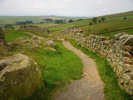
Photo: “Cleveland Way at Live Moor.jpg” by James F. Carter, CC BY-SA 2.5, via Wikimedia Commons (resized).