7-day forecast
Open-Meteo · trail point · local dates · last updated Nov 11, 2026, 3:10 PM PTWed 11
Overcast
10°C / 6°C
20% · 0.0 mm
Wind 10 km/h
GoodThu 12
Overcast
9°C / 4°C
33% · 0.0 mm
Wind 23 km/h
FairFri 13
Overcast
9°C / 1°C
12% · 0.0 mm
Wind 13 km/h
GoodSat 14
Overcast
9°C / 5°C
13% · 0.0 mm
Wind 21 km/h
GoodSun 15
Light rain
10°C / 7°C
77% · 5.4 mm
Wind 20 km/h
PoorMon 16
Light drizzle
8°C / 2°C
76% · 2.4 mm
Wind 29 km/h
PoorTue 17
Overcast
5°C / 2°C
57% · 0.0 mm
Wind 16 km/h
FairRoute
Route line © OpenStreetMap contributors (ODbL), simplified. Dot: trail point.
About this trail
The North Wales Path is a long-distance walk of some 60 miles (97 km) that runs close to the coast of northern Wales between Prestatyn in the east and Bangor in the west. Parts of it overlap with the Wales Coast Path. The path runs along parts of the Clwydian Range and Dee Valley Area of Outstanding Natural Beauty (AONB). The path was devised, implemented and maintained by the then Countryside Council for Wales and the three councils of: Gwynedd, Conwy, and Denbighshire.
From the Wikipedia article “North Wales Path”, CC BY-SA 4.0.
Trail facts
- Length
- 96 km · 60 mi (OpenStreetMap distance tag)
- Countries
- United Kingdom
- Continent
- Europe
- Trail point
- 53.31268, -3.49833 (OpenStreetMap route (first mapped point))
- OSM network
- Regional walking network
- Wikidata
- Q7057159
- OpenStreetMap
- relation 398069
Hiked it?
Log this hikeAdd a GPX file for the Verified Track badge. The first and last 500 m are trimmed off before anything is measured, and the file itself is not kept.
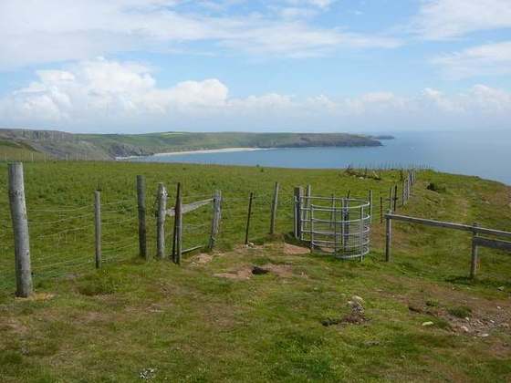
Photo: “Bwlch Moelfre - geograph.org.uk - 232049.jpg” by Jonathan Wilkins, CC BY-SA 2.0, via Wikimedia Commons (resized).