7-day forecast
Open-Meteo · trail point · local dates · last updated Nov 11, 2026, 3:10 PM PTWed 11
Light drizzle
10°C / 6°C
65% · 0.5 mm
Wind 20 km/h
FairThu 12
Overcast
8°C / 3°C
0% · 0.0 mm
Wind 28 km/h
GoodFri 13
Overcast
8°C / 0°C
2% · 0.0 mm
Wind 13 km/h
GoodSat 14
Light drizzle
10°C / 6°C
31% · 1.1 mm
Wind 30 km/h
FairSun 15
Light rain
11°C / 5°C
87% · 12.8 mm
Wind 29 km/h
PoorMon 16
Light drizzle
9°C / 6°C
51% · 2.0 mm
Wind 27 km/h
FairTue 17
Rain
6°C / 4°C
69% · 15.6 mm
Wind 27 km/h
FairRoute
No route line in this build. This is a very long route, so only its start point is used.
About this trail
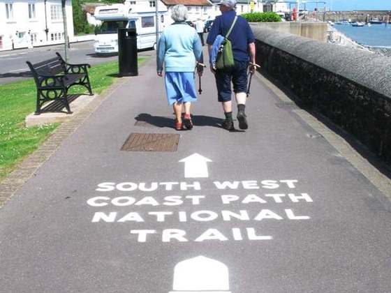
The Pembrokeshire Coast Path, often called the Pembrokeshire Coastal Path, is a designated National Trail in Pembrokeshire, southwest Wales. Established in 1970, it is a 186-mile (299 km) long-distance walking route, mostly at cliff-top level, with a total of 35,000 feet (11,000 m) of ascent and descent. At its highest point – Pen yr afr, on Cemaes Head – it reaches a height of 574 feet (175 m), and at its lowest point – Sandy Haven crossing, near Milford Haven – it is just 6 feet (2 m) above low water. Whilst most of the coastline faces west, it offers – at varying points – coastal views in every direction of the compass.
From the Wikipedia article “Pembrokeshire Coast Path”, CC BY-SA 4.0.
Trail facts
- Length
- 300 km · 186 mi (Wikidata)
- Countries
- United Kingdom
- Continent
- Europe
- Trail point
- 51.86840, -5.18050 (Wikidata coordinate)
- OSM network
- National walking network
- Operator (OSM)
- National Trails
- Wikidata
- Q1347296
- OpenStreetMap
- relation 77964
Hiked it?
Log this hikeAdd a GPX file for the Verified Track badge. The first and last 500 m are trimmed off before anything is measured, and the file itself is not kept.
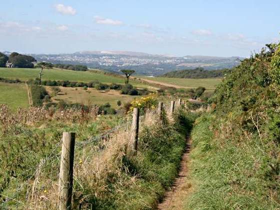
Photo: “Marloes peninsula, Pembrokeshire coast, Wales, UK.JPG” by Donar Reiskoffer, CC BY 3.0, via Wikimedia Commons (resized).