7-day forecast
Open-Meteo · trail point · local dates · last updated Nov 11, 2026, 3:10 PM PTThu 12
Light drizzle
9°C / 5°C
44% · 0.4 mm
Wind 14 km/h
FairFri 13
Light drizzle
9°C / 4°C
4% · 0.1 mm
Wind 18 km/h
FairSat 14
Light drizzle
8°C / 0°C
0% · 0.2 mm
Wind 16 km/h
FairSun 15
Light drizzle
13°C / 3°C
65% · 2.5 mm
Wind 19 km/h
FairMon 16
Drizzle
12°C / 7°C
58% · 1.4 mm
Wind 18 km/h
FairTue 17
Drizzle
10°C / 5°C
61% · 3.4 mm
Wind 17 km/h
FairWed 18
Drizzle
12°C / 6°C
61% · 4.8 mm
Wind 20 km/h
FairRoute
No route line in this build. No OpenStreetMap route relation is linked for this trail.
About this trail
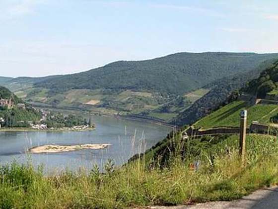
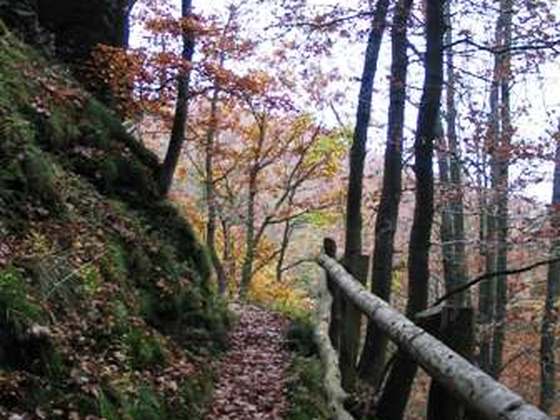
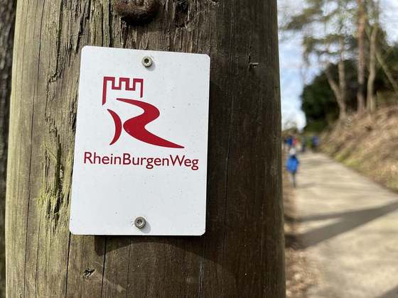
The Rheinhöhenweg Trail is a popular hiking trail on the mountains of the Rhine Valley. It leads from the Lower Rhine in Bonn passing the Loreley up to the Upper Rhine. There is a Rheinhöhenweg Trail on both sides of the Rhine River. On the left side it goes from Bonn to Alsheim, which is to the south of Mainz, with a total length of 240 km. On the right side it goes from Bonn-Beuel to Wiesbaden with a total length of 272 km. Both trails together have a combined length of over 500 km. The Rheinhöhenweg Trail is marked by a black R on a white background. The trails on the left and on the right side are frequently connected by hiking trails called "Rheinhöhen Connection Trails", marked by the sign "RV".
From the Wikipedia article “Rheinhöhenweg Trail”, CC BY-SA 4.0.
Trail facts
- Length
- 240 km · 149 mi (Wikidata)
- Countries
- Germany
- Continent
- Europe
- Trail point
- 50.72485, 7.09061 (Wikidata coordinate)
- Wikidata
- Q882979
Hiked it?
Log this hikeAdd a GPX file for the Verified Track badge. The first and last 500 m are trimmed off before anything is measured, and the file itself is not kept.
Photo: “Schloss Stolzenfels 01 Koblenz 2015.jpg” by Holger Weinandt, CC BY-SA 3.0 de, via Wikimedia Commons (resized).