7-day forecast
Open-Meteo · trail point · local dates · last updated Nov 11, 2026, 3:10 PM PTThu 12
Light snow
2°C / -0°C
100% · 20.4 mm
Wind 14 km/h
PoorFri 13
Light snow
2°C / -0°C
100% · 17.1 mm
Wind 21 km/h
PoorSat 14
Overcast
0°C / -6°C
4% · 0.0 mm
Wind 18 km/h
GoodSun 15
Overcast
3°C / -3°C
2% · 0.0 mm
Wind 13 km/h
GoodMon 16
Snow showers
3°C / -3°C
53% · 0.8 mm
Wind 11 km/h
FairTue 17
Snow showers
2°C / -1°C
51% · 13.0 mm
Wind 19 km/h
FairWed 18
Snow
2°C / -4°C
39% · 3.0 mm
Wind 13 km/h
FairRoute
No route line in this build. This is a very long route, so only its start point is used.
About this trail
St. Olavsleden, is a pilgrim's way between Selånger outside Sundsvall in Sweden and Nidaros Cathedral in Trondheim in Norway, commemorating Saint Olaf who was King of Norway from 1015 to 1028. St. Olavsleden was one of the Pilgrim's Routes. From the 1970s until 2012, it was called the Mittnordenleden.
From the Wikipedia article “St. Olavsleden”, CC BY-SA 4.0.
Trail facts
- Length
- 580 km · 360 mi (Wikidata)
- Countries
- Norway, Sweden
- Continent
- Europe
- Trail point
- 62.40666, 17.20826 (OpenStreetMap route (first mapped point))
- OSM network
- International walking network
- Wikidata
- Q18448597
- OpenStreetMap
- relation 10524322
- Official info
- stolavsleden.com
Hiked it?
Log this hikeAdd a GPX file for the Verified Track badge. The first and last 500 m are trimmed off before anything is measured, and the file itself is not kept.
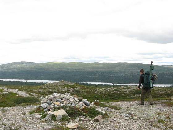
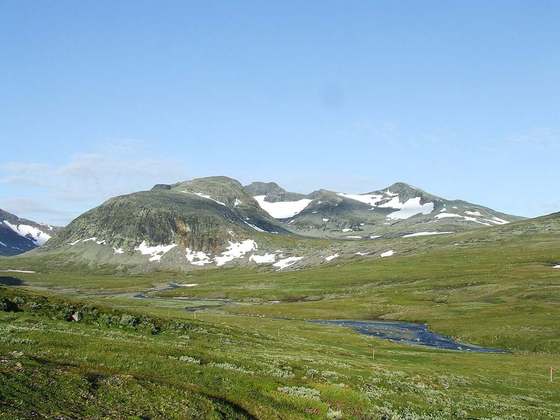
Photo: “Alsen.StOlavsLeden.JPG” by Offerdal, Public domain, via Wikimedia Commons (resized).