7-day forecast
Open-Meteo · trail point · local dates · last updated Nov 11, 2026, 3:10 PM PTThu 12
Mainly clear
-4°C / -20°C
0% · 0.0 mm
Wind 4 km/h
GoodFri 13
Mainly clear
-5°C / -17°C
0% · 0.0 mm
Wind 4 km/h
GoodSat 14
Partly cloudy
-6°C / -18°C
2% · 0.0 mm
Wind 4 km/h
GoodSun 15
Fog
-10°C / -27°C
6% · 0.0 mm
Wind 5 km/h
GoodMon 16
Light snow
-8°C / -25°C
4% · 0.3 mm
Wind 5 km/h
FairTue 17
Mainly clear
-8°C / -19°C
2% · 0.0 mm
Wind 4 km/h
GoodWed 18
Clear sky
-5°C / -18°C
0% · 0.0 mm
Wind 4 km/h
GoodRoute
Route line © OpenStreetMap contributors (ODbL), simplified. Dot: trail point.
About this trail
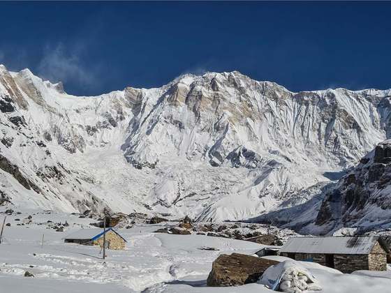
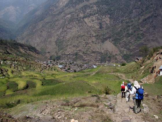
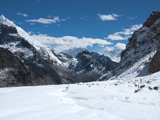
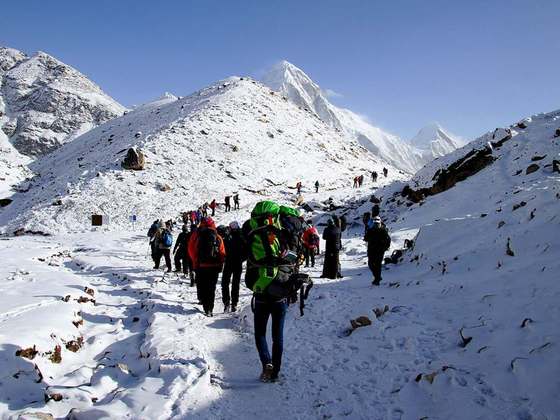
The Annapurna Circuit is a trek within the mountain ranges of central Nepal. The total length of the route varies between 160 and 230 km, depending on where motor transportation is used and where the trek is ended. This trek crosses two different river valleys and encircles the Annapurna Massif. The path reaches its highest point at Thorung La pass, reaching the edge of the Tibetan Plateau. Most trekkers hike the route anticlockwise, as this way the daily altitude gain is slower, and crossing the high Thorong La pass is easier and safer.
From the Wikipedia article “Annapurna Circuit”, CC BY-SA 4.0.
Trail facts
- Length
- 250 km · 155 mi (OpenStreetMap distance tag)
- Countries
- Nepal
- Continent
- Asia
- Trail point
- 28.79467, 83.93737 (Wikidata coordinate)
- OSM network
- National walking network
- Operator (OSM)
- Annapurna Conservation Area Project
- Wikidata
- Q381683
- OpenStreetMap
- relation 1187310
Hiked it?
Log this hikeAdd a GPX file for the Verified Track badge. The first and last 500 m are trimmed off before anything is measured, and the file itself is not kept.
Photo: “Thorong La 2, Himalaya, Nepal.jpg” by Vyacheslav Argenberg, CC BY 4.0, via Wikimedia Commons (resized).