7-day forecast
Open-Meteo · trail point · local dates · last updated Nov 11, 2026, 3:10 PM PTThu 12
Clear sky
-8°C / -25°C
0% · 0.0 mm
Wind 16 km/h
GoodFri 13
Clear sky
-4°C / -16°C
0% · 0.0 mm
Wind 13 km/h
GoodSat 14
Mainly clear
-2°C / -13°C
0% · 0.0 mm
Wind 11 km/h
GoodSun 15
Mainly clear
-3°C / -14°C
2% · 0.0 mm
Wind 12 km/h
GoodMon 16
Clear sky
-5°C / -15°C
0% · 0.0 mm
Wind 10 km/h
GoodTue 17
Clear sky
-8°C / -17°C
0% · 0.0 mm
Wind 10 km/h
GoodWed 18
Clear sky
-5°C / -17°C
0% · 0.0 mm
Wind 12 km/h
GoodRoute
No route line in this build. No OpenStreetMap route relation is linked for this trail.
About this trail
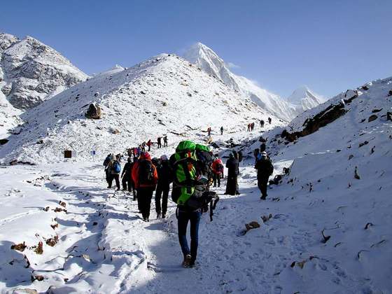
Cho La is a summit pass located 5,420 metres (17,782 ft) above sea level in the Solukhumbu District in northeastern Nepal. It connects the village of Dzongla to the east and the village of Thagnak to the west.
From the Wikipedia article “Cho La (Nepal)”, CC BY-SA 4.0.
Trail facts
Hiked it?
Log this hikeAdd a GPX file for the Verified Track badge. The first and last 500 m are trimmed off before anything is measured, and the file itself is not kept.
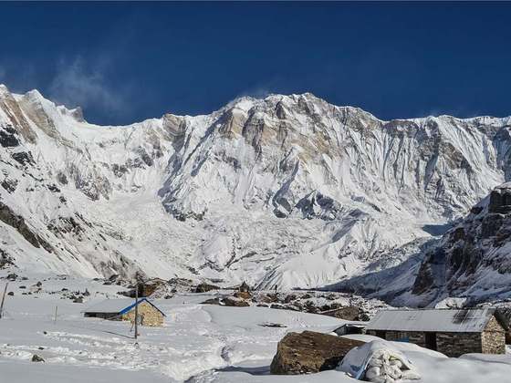
Photo: “Himalayas, Nepal.jpg” by Vyacheslav Argenberg, CC BY 4.0, via Wikimedia Commons (resized).