7-day forecast
Open-Meteo · trail point · local dates · last updated Nov 11, 2026, 3:10 PM PTThu 12
Overcast
-6°C / -7°C
0% · 0.0 mm
Wind 12 km/h
GoodFri 13
Light snow
-4°C / -7°C
31% · 0.1 mm
Wind 14 km/h
FairSat 14
Fog
-5°C / -13°C
40% · 0.0 mm
Wind 10 km/h
FairSun 15
Snow showers
-3°C / -10°C
57% · 3.8 mm
Wind 12 km/h
FairMon 16
Light snow
-4°C / -13°C
33% · 0.3 mm
Wind 7 km/h
FairTue 17
Fog
-4°C / -15°C
37% · 0.0 mm
Wind 7 km/h
FairWed 18
Light snow
-6°C / -14°C
35% · 0.6 mm
Wind 6 km/h
FairRoute
Route line © OpenStreetMap contributors (ODbL), simplified. Dot: trail point.
About this trail
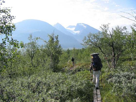
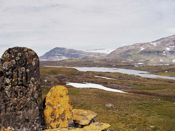
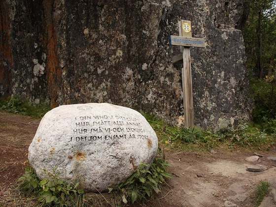
Nordkalottruta or Arctic Trail is a marked hiking trail in the Arctic region of the Nordic countries. It has a total length of 800 km (500 mi) and lies along the border of Norway, Sweden and Finland. It begins at Kautokeino and 380 km (240 mi) of the trail lies in Norway, 350 km (220 mi) in Sweden and 70 km (43 mi) in Finland. The trail crosses international borders 15 times and ends in the south in Sulitjelma (Norway) or alternately Kvikkjokk (Sweden).
From the Wikipedia article “Nordkalottruta”, CC BY-SA 4.0.
Trail facts
- Length
- 800 km · 497 mi (Wikidata)
- Countries
- Finland, Norway, Sweden
- Continent
- Europe
- Trail point
- 67.46375, 16.90201 (OpenStreetMap route (first mapped point))
- OSM network
- International walking network
- Wikidata
- Q1042834
- OpenStreetMap
- relation 2437984
- Official info
- reisanasjonalpark.no/en/nordkalott-trail
Hiked it?
Log this hikeAdd a GPX file for the Verified Track badge. The first and last 500 m are trimmed off before anything is measured, and the file itself is not kept.
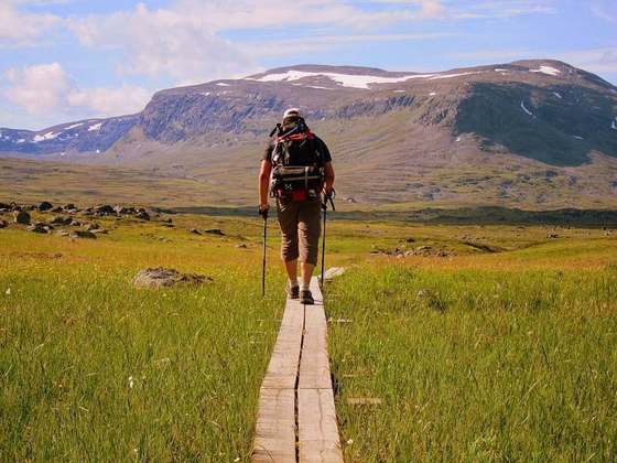
Photo: “Kalottireitti Meekonjärvellä.JPG” by MattiPaavola, CC BY-SA 3.0, via Wikimedia Commons (resized).