7-day forecast
Open-Meteo · trail point · local dates · last updated Nov 11, 2026, 3:10 PM PTThu 12
Light snow
-5°C / -6°C
100% · 1.3 mm
Wind 19 km/h
PoorFri 13
Light snow
-4°C / -5°C
27% · 0.7 mm
Wind 12 km/h
FairSat 14
Snow showers
-4°C / -13°C
86% · 1.9 mm
Wind 10 km/h
PoorSun 15
Snow showers
-2°C / -8°C
74% · 1.7 mm
Wind 20 km/h
PoorMon 16
Snow showers
-4°C / -11°C
43% · 2.4 mm
Wind 15 km/h
FairTue 17
Fog
-8°C / -15°C
57% · 0.0 mm
Wind 13 km/h
FairWed 18
Overcast
-5°C / -11°C
50% · 0.0 mm
Wind 7 km/h
FairRoute
No route line in this build. This is a very long route, so only its start point is used.
About this trail
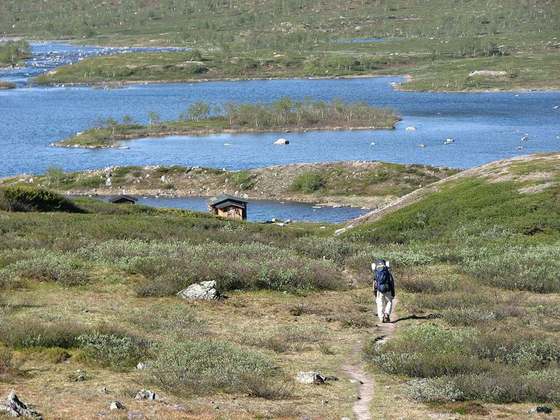
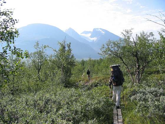
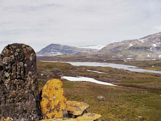
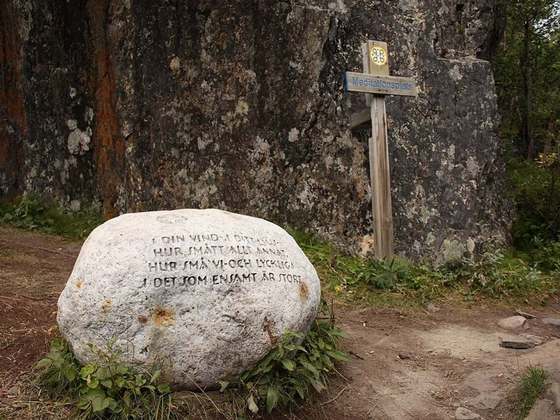
Kungsleden is a hiking trail in northern Sweden, approximately 467 kilometres (290 mi) long, between Abisko in the north and Hemavan in the south. The full distance breaks down into 419.3 km of trekking, 18.2 km of lake crossings and a 29.5 km stretch of road, almost all of which hikers cover by bus. It passes through, near the southern end, the Vindelfjällen Nature Reserve, one of the largest protected areas in Europe. In the winter Kungsleden is a ski trail with approximately the same route.
From the Wikipedia article “Kungsleden”, CC BY-SA 4.0.
Trail facts
- Length
- 450 km · 280 mi (Wikidata)
- Countries
- Sweden
- Continent
- Europe
- Trail point
- 66.00616, 15.49255 (OpenStreetMap route (first mapped point))
- Wikidata
- Q59780
- OpenStreetMap
- relation 18869117
Hiked it?
Log this hikeAdd a GPX file for the Verified Track badge. The first and last 500 m are trimmed off before anything is measured, and the file itself is not kept.
Photo: “Kungsleden trail.JPG” by Shyguy24x7, CC BY-SA 3.0, via Wikimedia Commons (resized).