7-day forecast
Open-Meteo · trail point · local dates · last updated Nov 11, 2026, 3:10 PM PTWed 11
Overcast
6°C / -0°C
0% · 0.0 mm
Wind 13 km/h
GoodThu 12
Light drizzle
6°C / 1°C
0% · 0.2 mm
Wind 19 km/h
FairFri 13
Overcast
6°C / 1°C
0% · 0.0 mm
Wind 13 km/h
GoodSat 14
Heavy drizzle
7°C / 5°C
27% · 2.6 mm
Wind 20 km/h
FairSun 15
Heavy drizzle
7°C / 4°C
71% · 12.1 mm
Wind 34 km/h
PoorMon 16
Overcast
4°C / -2°C
49% · 0.0 mm
Wind 34 km/h
FairTue 17
Partly cloudy
3°C / -3°C
25% · 0.0 mm
Wind 12 km/h
GoodRoute
Route line © OpenStreetMap contributors (ODbL), simplified. Dot: trail point.
About this trail
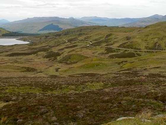
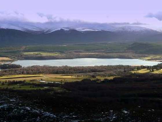
The Cateran Trail is a 103-kilometre (64 mi) circular long-distance walking route in central Scotland. The trail has no official beginning or end and can be joined at any stage. The route was established, way-marked and is now maintained by, the Perth & Kinross Countryside Trust. A variety of terrain is covered by the trail including farmland, mountains and forest. The path itself follows old drovers' roads, minor paved roads and farm tracks and can be walked in 4 or 5 days. It is now designated as one of Scotland's Great Trails by NatureScot. As of 2018 it was estimated that around 8,000 people were using the trail each year.
From the Wikipedia article “Cateran Trail”, CC BY-SA 4.0.
Trail facts
- Length
- 103 km · 64 mi (Wikidata)
- Countries
- United Kingdom
- Continent
- Europe
- Trail point
- 56.59190, -3.33610 (Wikidata coordinate)
- OSM network
- National walking network
- Wikidata
- Q5051894
- OpenStreetMap
- relation 1756395
- Official info
- pkct.org/cateran-trail
Hiked it?
Log this hikeAdd a GPX file for the Verified Track badge. The first and last 500 m are trimmed off before anything is measured, and the file itself is not kept.
Photo: “Stile on Cateran Trail - geograph.org.uk - 246951.jpg” by Lis Burke, CC BY-SA 2.0, via Wikimedia Commons (resized).