7-day forecast
Open-Meteo · trail point · local dates · last updated Nov 11, 2026, 3:10 PM PTWed 11
Light drizzle
5°C / 0°C
0% · 0.4 mm
Wind 13 km/h
FairThu 12
Light drizzle
6°C / 2°C
0% · 0.1 mm
Wind 12 km/h
FairFri 13
Drizzle
7°C / 1°C
2% · 0.5 mm
Wind 14 km/h
FairSat 14
Heavy drizzle
7°C / 4°C
63% · 6.3 mm
Wind 24 km/h
FairSun 15
Light rain
7°C / 2°C
93% · 15.0 mm
Wind 15 km/h
PoorMon 16
Drizzle
3°C / -1°C
53% · 1.6 mm
Wind 18 km/h
FairTue 17
Overcast
1°C / -3°C
25% · 0.0 mm
Wind 9 km/h
GoodRoute
Route line © OpenStreetMap contributors (ODbL), simplified. Dot: trail point.
About this trail
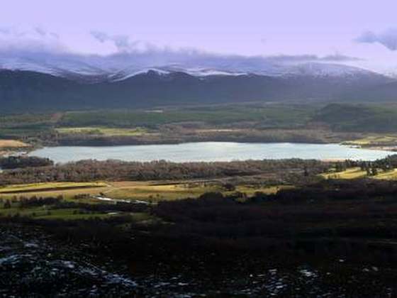
The Rob Roy Way is a Scottish long distance footpath that runs from Drymen in Stirling to Pitlochry in Perth and Kinross. The path was created in 2002, and takes its name from Rob Roy MacGregor, a Scottish folk hero and outlaw of the early 18th century. It traverses countryside that he knew and travelled frequently. The route crosses the Highland Boundary Fault, a geological fault where the Highlands meet the Lowlands. Views from the trail overlook Loch Lubnaig, Loch Earn, Loch Venachar and Loch Tay. The way is 127 kilometres (79 mi) in length if the direct route along the southern shore of Loch Tay and the River Tay is followed between Ardtalnaig and Aberfeldy. An optional loop also links these places via Amulree: choosing this option increases the length by a further 27 kilometres (17 mi) to 154 kilometres (96 mi).
From the Wikipedia article “Rob Roy Way”, CC BY-SA 4.0.
Trail facts
- Length
- 148 km · 92 mi (Wikidata)
- Countries
- United Kingdom
- Continent
- Europe
- Trail point
- 56.46050, -4.29570 (Wikidata coordinate)
- OSM network
- National walking network
- Wikidata
- Q2156075
- OpenStreetMap
- relation 189465
- Official info
- robroyway.com
Hiked it?
Log this hikeAdd a GPX file for the Verified Track badge. The first and last 500 m are trimmed off before anything is measured, and the file itself is not kept.
Photo: “Landschaft am Rob Roy Way bei Killin.jpg” by Norbert Siemer at de.wikipedia, Public domain, via Wikimedia Commons (resized).