7-day forecast
Open-Meteo · trail point · local dates · last updated Nov 11, 2026, 3:10 PM PTThu 12
Light rain
7°C / 2°C
100% · 8.7 mm
Wind 5 km/h
PoorFri 13
Rain
6°C / 0°C
100% · 18.8 mm
Wind 22 km/h
PoorSat 14
Mainly clear
4°C / -3°C
0% · 0.0 mm
Wind 10 km/h
GoodSun 15
Overcast
5°C / -3°C
6% · 0.0 mm
Wind 19 km/h
GoodMon 16
Rain showers
6°C / 2°C
71% · 9.2 mm
Wind 18 km/h
PoorTue 17
Rain showers
6°C / -1°C
68% · 7.9 mm
Wind 15 km/h
FairWed 18
Drizzle
6°C / -1°C
51% · 4.6 mm
Wind 10 km/h
FairRoute
No route line in this build. This is a very long route, so only its start point is used.
About this trail
The SNP Heroes Trail, inaugurated in 1956, is a long-distance hiking trail in Slovakia that runs from the Dukla Pass in the northeast of the country to Devín Castle, on the western border with Austria, with a total length of 772.1 km. It partially extends into the Czech Republic. The trail runs through most parts of the country where significant events of the 1944–45 Slovak National Uprising occurred and is thus named after it. The trail is marked with red blazes on the majority of its length, and it mostly follows the route of the E8 European long distance path. It is maintained by the Slovak Tourist Club.
From the Wikipedia article “SNP Heroes Trail”, CC BY-SA 4.0.
Trail facts
- Length
- 772 km · 480 mi (Wikidata)
- Countries
- Slovakia, Czech Republic
- Continent
- Europe
- Trail point
- 48.88473, 18.70582 (Wikidata coordinate)
- Wikidata
- Q3512223
- OpenStreetMap
- relation 7700604
Hiked it?
Log this hikeAdd a GPX file for the Verified Track badge. The first and last 500 m are trimmed off before anything is measured, and the file itself is not kept.
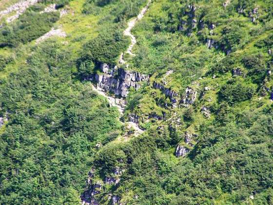
Photo: “Dukliansky priesmyk Vysny Komarnik.jpg” by Peter Zelizňák, Public domain, via Wikimedia Commons (resized).