7-day forecast
Open-Meteo · trail point · local dates · last updated Nov 11, 2026, 3:10 PM PTThu 12
Overcast
16°C / 6°C
0% · 0.0 mm
Wind 7 km/h
GoodFri 13
Light drizzle
18°C / 6°C
0% · 0.5 mm
Wind 8 km/h
FairSat 14
Light drizzle
17°C / 8°C
4% · 0.3 mm
Wind 7 km/h
FairSun 15
Light drizzle
17°C / 8°C
76% · 0.9 mm
Wind 5 km/h
PoorMon 16
Light drizzle
18°C / 6°C
70% · 1.2 mm
Wind 7 km/h
PoorTue 17
Fog
17°C / 4°C
5% · 0.0 mm
Wind 8 km/h
GoodWed 18
Partly cloudy
18°C / 7°C
0% · 0.0 mm
Wind 8 km/h
GoodRoute
No route line in this build. This is a very long route, so only its start point is used.
About this trail
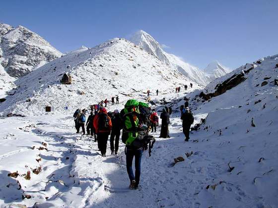
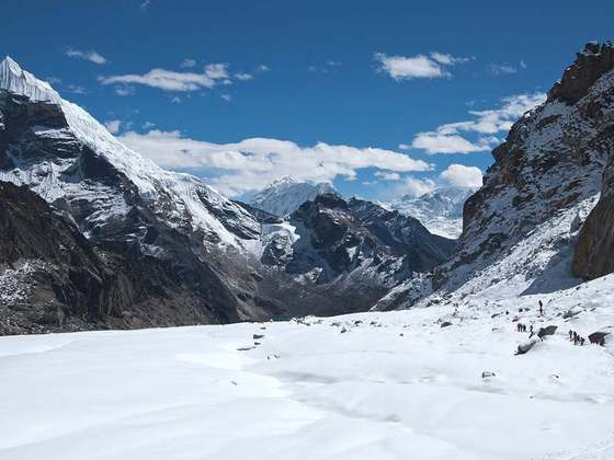
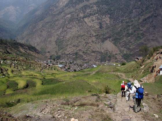
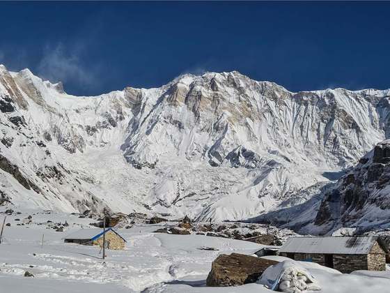
The Great Himalaya Trail is a route across the Himalayas from east to west. The original concept was to establish a single long distance trekking trail from the east end to the west end of Nepal that includes a total of roughly 1,700 kilometres (1,100 mi) of path. There is a proposed trail of more than 4,500 kilometres (2,800 mi) stretching the length of the Greater Himalaya range from Nanga Parbat in Pakistan to Namche Barwa in Tibet thus passing through, India, Nepal, Bhutan and Tibet. Although an actual continuous route is currently only a concept, if completed it would be the longest and highest alpine hiking track in the world.
From the Wikipedia article “Great Himalaya Trail”, CC BY-SA 4.0.
Trail facts
- Countries
- Nepal
- Continent
- Asia
- Trail point
- 27.35808, 87.67174 (OpenStreetMap route (first mapped point))
- OSM network
- International walking network
- Wikidata
- Q5599315
- OpenStreetMap
- relation 7716498
Hiked it?
Log this hikeAdd a GPX file for the Verified Track badge. The first and last 500 m are trimmed off before anything is measured, and the file itself is not kept.