7-day forecast
Open-Meteo · trail point · local dates · last updated Nov 11, 2026, 3:10 PM PTWed 11
Overcast
10°C / 2°C
0% · 0.0 mm
Wind 16 km/h
GoodThu 12
Overcast
7°C / 0°C
0% · 0.0 mm
Wind 21 km/h
GoodFri 13
Overcast
9°C / 2°C
75% · 0.0 mm
Wind 19 km/h
PoorSat 14
Drizzle
9°C / 7°C
83% · 4.8 mm
Wind 36 km/h
PoorSun 15
Heavy drizzle
8°C / 7°C
82% · 11.7 mm
Wind 37 km/h
PoorMon 16
Heavy drizzle
8°C / 2°C
71% · 6.3 mm
Wind 38 km/h
PoorTue 17
Overcast
4°C / 0°C
46% · 0.0 mm
Wind 19 km/h
FairRoute
No route line in this build. This is a very long route, so only its start point is used.
About this trail
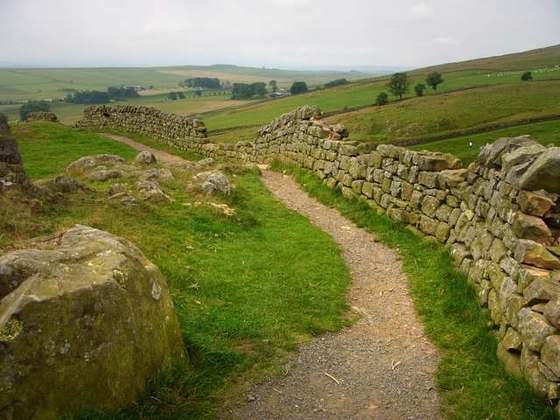
The Coast to Coast Walk is a long-distance footpath running between the west and east coasts of Northern England, nominally 190 miles (306 km) in length. Devised by Alfred Wainwright, it passes through three contrasting national parks: the Lake District, the Yorkshire Dales, and the North York Moors. The currently measured distance is reported as 182 miles (293 km).
From the Wikipedia article “Coast to Coast Walk”, CC BY-SA 4.0.
Trail facts
- Length
- 300 km · 186 mi (OpenStreetMap distance tag)
- Countries
- United Kingdom
- Continent
- Europe
- Trail point
- 54.49200, -3.61200 (Wikidata coordinate)
- OSM network
- National walking network
- Wikidata
- Q1104394
- OpenStreetMap
- relation 12145
Hiked it?
Log this hikeAdd a GPX file for the Verified Track badge. The first and last 500 m are trimmed off before anything is measured, and the file itself is not kept.
Photo: “Coast 2 coast.svg” by James F. Carter, CC BY-SA 2.5, via Wikimedia Commons (resized).