7-day forecast
Open-Meteo · trail point · local dates · last updated Nov 11, 2026, 3:10 PM PTWed 11
Overcast
8°C / -1°C
0% · 0.0 mm
Wind 9 km/h
GoodThu 12
Partly cloudy
6°C / -5°C
0% · 0.0 mm
Wind 20 km/h
GoodFri 13
Overcast
7°C / -5°C
0% · 0.0 mm
Wind 9 km/h
GoodSat 14
Drizzle
8°C / 4°C
82% · 4.9 mm
Wind 21 km/h
PoorSun 15
Light rain
8°C / 5°C
78% · 16.3 mm
Wind 22 km/h
PoorMon 16
Drizzle
8°C / 2°C
57% · 4.6 mm
Wind 32 km/h
FairTue 17
Partly cloudy
4°C / -5°C
35% · 0.0 mm
Wind 15 km/h
FairRoute
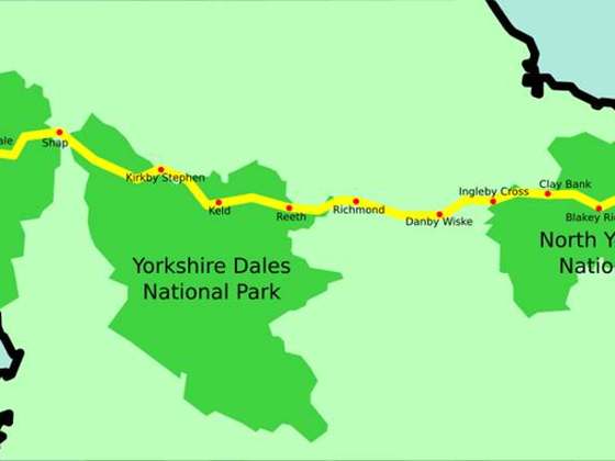
Route line © OpenStreetMap contributors (ODbL), simplified. Dot: trail point.
About this trail
The Annandale Way is a 90-kilometre (56 mi) hiking trail in Scotland, which is officially designated by NatureScot as one of Scotland's Great Trails. It follows the valley of the River Annan from its source in the Moffat Hills to the sea in the Solway Firth south of the town of Annan. The route, which was established on 12 September 2009, has been designed to be traversable in four to five days as a continuous walk but it also offers several day-walks. Overnight stops can be arranged in small market towns and villages along the route such as Moffat, Johnstonebridge, Lochmaben, Lockerbie, or Annan. The route has been developed by Sulwath Connections and local communities, with the support of local estates and farmers, to help promote Annandale as a new area for walking. Its trailheads are near the Devil's Beef Tub in the Moffat Hills and on the Solway Firth just south of Annan, in Newbie.
From the Wikipedia article “Annandale Way”, CC BY-SA 4.0.
Trail facts
- Length
- 85 km · 53 mi (Wikidata)
- Countries
- United Kingdom
- Continent
- Europe
- Trail point
- 55.17370, -3.42310 (Wikidata coordinate)
- OSM network
- National walking network
- Wikidata
- Q4767935
- OpenStreetMap
- relation 1756393
- Official info
- annandaleway.org
Hiked it?
Log this hikeAdd a GPX file for the Verified Track badge. The first and last 500 m are trimmed off before anything is measured, and the file itself is not kept.
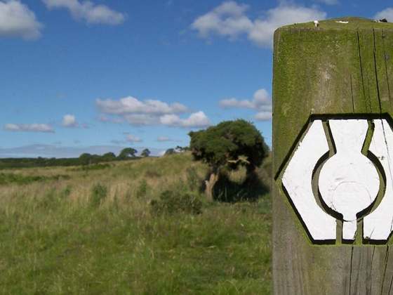
Photo: “Plaque on cairn at start of Annadale Way - north end.jpg” by Scothill at English Wikipedia, CC BY-SA 3.0, via Wikimedia Commons (resized).