7-day forecast
Open-Meteo · trail point · local dates · last updated Nov 11, 2026, 3:10 PM PTWed 11
Heavy drizzle
9°C / 8°C
88% · 8.0 mm
Wind 14 km/h
PoorThu 12
Overcast
8°C / 2°C
0% · 0.0 mm
Wind 22 km/h
GoodFri 13
Mainly clear
6°C / -2°C
0% · 0.0 mm
Wind 10 km/h
GoodSat 14
Overcast
9°C / -3°C
5% · 0.0 mm
Wind 12 km/h
GoodSun 15
Light rain
11°C / 4°C
88% · 10.7 mm
Wind 18 km/h
PoorMon 16
Light rain
11°C / 5°C
35% · 8.2 mm
Wind 25 km/h
FairTue 17
Light rain
6°C / 5°C
65% · 11.7 mm
Wind 23 km/h
FairRoute
Route line © OpenStreetMap contributors (ODbL), simplified. Dot: trail point.
About this trail
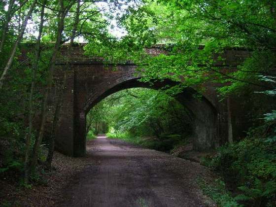
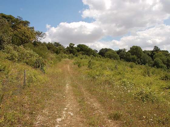
The Downs Link is a 36.7-mile (59.1 km) path and bridleway in South East England. It connects the North Downs Way at St Martha's Hill in Surrey with the South Downs Way near Steyning in West Sussex, from where it continues as the Coastal Link to Shoreham-by-Sea. The majority of the route follows the track beds of two former railway lines, the Cranleigh Line and the Steyning Line, both of which closed in the mid-1960s.
From the Wikipedia article “Downs Link”, CC BY-SA 4.0.
Trail facts
- Length
- 60 km · 37 mi (Wikidata)
- Countries
- United Kingdom
- Continent
- Europe
- Trail point
- 51.03880, -0.37040 (Wikidata coordinate)
- OSM network
- Regional walking network
- Wikidata
- Q5303264
- OpenStreetMap
- relation 1201604
- Official info
- westsussex.gov.uk/leisure-recreation-and-communi
Hiked it?
Log this hikeAdd a GPX file for the Verified Track badge. The first and last 500 m are trimmed off before anything is measured, and the file itself is not kept.
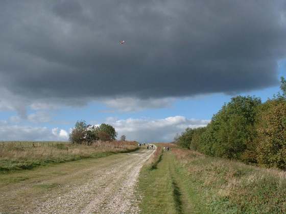
Photo: “Downs Link Footpath.jpg” by Colin Smith, CC BY-SA 2.0, via Wikimedia Commons (resized).