7-day forecast
Open-Meteo · trail point · local dates · last updated Nov 11, 2026, 3:10 PM PTWed 11
Drizzle
10°C / 8°C
100% · 4.2 mm
Wind 13 km/h
PoorThu 12
Overcast
8°C / 4°C
0% · 0.0 mm
Wind 19 km/h
GoodFri 13
Clear sky
7°C / 2°C
0% · 0.0 mm
Wind 12 km/h
GoodSat 14
Overcast
8°C / 1°C
1% · 0.0 mm
Wind 9 km/h
GoodSun 15
Light drizzle
10°C / 4°C
80% · 2.2 mm
Wind 15 km/h
PoorMon 16
Light rain
10°C / 5°C
22% · 8.9 mm
Wind 23 km/h
FairTue 17
Light rain
6°C / 4°C
64% · 8.1 mm
Wind 17 km/h
FairRoute
No route line in this build. This is a very long route, so only its start point is used.
About this trail
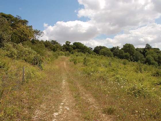
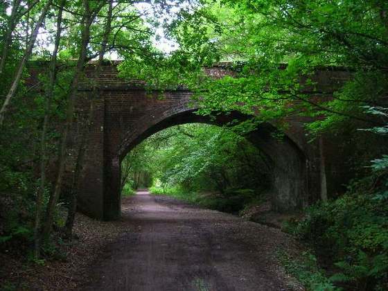
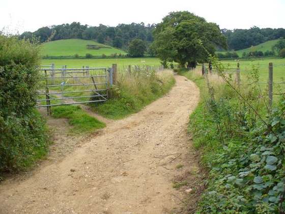
The London Outer Orbital Path—more usually the "London LOOP"—is a 150-mile (242 km) signed walk along public footpaths, and through parks, woods and fields around the edge of Outer London, England, described as "the M25 for walkers". The walk begins at Erith on the south bank of the River Thames and passes clockwise through Crayford, Petts Wood, Coulsdon, Banstead, Ewell, Kingston upon Thames, Uxbridge, Elstree, Cockfosters, Chingford, Chigwell, Grange Hill and Upminster Bridge before ending at Purfleet, almost directly across the Thames from its starting point. Between these settlements the route passes through green buffers and some of the highest points in Greater London.
From the Wikipedia article “London Outer Orbital Path”, CC BY-SA 4.0.
Trail facts
- Length
- 241 km · 150 mi (Wikidata)
- Countries
- United Kingdom
- Continent
- Europe
- Trail point
- 51.48314, 0.17797 (Wikidata coordinate)
- OSM network
- Regional walking network
- Operator (OSM)
- TfL Transport for London
- Wikidata
- Q6670641
- OpenStreetMap
- relation 4601
- Official info
- tfl.gov.uk/modes/walking/loop-walk
Hiked it?
Log this hikeAdd a GPX file for the Verified Track badge. The first and last 500 m are trimmed off before anything is measured, and the file itself is not kept.
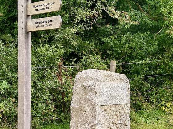
Photo: “London Loop sign.JPG” by P Ingerson at English Wikipedia, Public domain, via Wikimedia Commons (resized).