7-day forecast
Open-Meteo · trail point · local dates · last updated Nov 11, 2026, 3:10 PM PTThu 12
Drizzle
10°C / 2°C
4% · 0.6 mm
Wind 20 km/h
FairFri 13
Heavy drizzle
10°C / 4°C
0% · 2.1 mm
Wind 16 km/h
FairSat 14
Overcast
7°C / 1°C
0% · 0.0 mm
Wind 13 km/h
GoodSun 15
Light drizzle
11°C / 2°C
78% · 2.1 mm
Wind 27 km/h
PoorMon 16
Drizzle
11°C / 6°C
59% · 3.9 mm
Wind 26 km/h
FairTue 17
Drizzle
8°C / 4°C
71% · 5.9 mm
Wind 22 km/h
PoorWed 18
Drizzle
10°C / 5°C
71% · 4.4 mm
Wind 27 km/h
PoorRoute
Route line © OpenStreetMap contributors (ODbL), simplified. Dot: trail point.
About this trail
Long-distance trail in the Netherlands.
Description from Wikidata (CC0).
Trail facts
- Length
- 244 km · 152 mi (Wikidata)
- Countries
- Netherlands
- Continent
- Europe
- Trail point
- 51.76093, 4.73417 (OpenStreetMap route (first mapped point))
- OSM network
- National walking network
- Operator (OSM)
- Wandelnet
- Wikidata
- Q522367
- OpenStreetMap
- relation 9769895
- Official info
- wandelnet.nl/floris-v-pad
Hiked it?
Log this hikeAdd a GPX file for the Verified Track badge. The first and last 500 m are trimmed off before anything is measured, and the file itself is not kept.
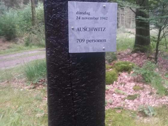
Photo: “Floris V-pad near Ankeveen 1.jpg” by MartinD, CC BY-SA 4.0, via Wikimedia Commons (resized).