7-day forecast
Open-Meteo · trail point · local dates · last updated Nov 11, 2026, 3:10 PM PTThu 12
Light drizzle
10°C / 4°C
37% · 0.3 mm
Wind 32 km/h
FairFri 13
Light drizzle
10°C / 9°C
14% · 0.2 mm
Wind 37 km/h
FairSat 14
Overcast
10°C / 3°C
0% · 0.0 mm
Wind 18 km/h
GoodSun 15
Rain showers
11°C / 3°C
79% · 5.1 mm
Wind 35 km/h
PoorMon 16
Heavy drizzle
11°C / 9°C
74% · 7.8 mm
Wind 34 km/h
PoorTue 17
Drizzle
10°C / 5°C
70% · 8.0 mm
Wind 30 km/h
PoorWed 18
Drizzle
11°C / 5°C
73% · 10.2 mm
Wind 42 km/h
PoorRoute
No route line in this build. This is a very long route, so only its start point is used.
About this trail
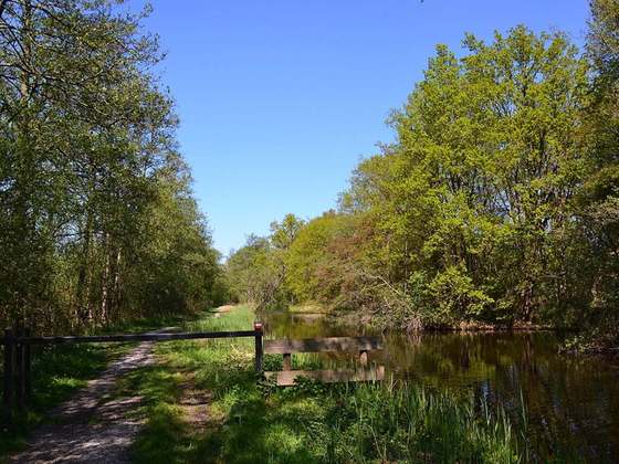
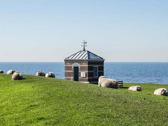
The GR 5 is a GR footpath that starts in the Netherlands, crosses Belgium and Luxembourg before crossing France from north to south. It is part of the European walking route E2. This trail is famous for its route through the French Alps from Lake Geneva to Nice called Grande Traversée des Alpes.
From the Wikipedia article “GR 5”, CC BY-SA 4.0.
Trail facts
- Length
- 2,600 km · 1,616 mi (Wikidata)
- Countries
- Luxembourg, Germany, France, Switzerland, Belgium
- Continent
- Europe
- Trail point
- 51.97708, 4.12670 (OpenStreetMap route (first mapped point))
- OSM network
- International walking network
- Wikidata
- Q753119
- OpenStreetMap
- relation 4580796
Hiked it?
Log this hikeAdd a GPX file for the Verified Track badge. The first and last 500 m are trimmed off before anything is measured, and the file itself is not kept.
Photo: “Refuge Bel-Lachat gr5 Chamonix.jpg” by Jérôme Tcherniatinsky, Public domain, via Wikimedia Commons (resized).