7-day forecast
Open-Meteo · trail point · local dates · last updated Nov 11, 2026, 3:10 PM PTThu 12
Rain
14°C / 10°C
88% · 4.9 mm
Wind 16 km/h
PoorFri 13
Rain
12°C / 9°C
80% · 6.7 mm
Wind 12 km/h
PoorSat 14
Light drizzle
12°C / 6°C
78% · 0.3 mm
Wind 12 km/h
PoorSun 15
Light drizzle
12°C / 6°C
65% · 0.5 mm
Wind 27 km/h
FairMon 16
Overcast
13°C / 4°C
41% · 0.2 mm
Wind 16 km/h
FairTue 17
Drizzle
15°C / 3°C
48% · 3.7 mm
Wind 14 km/h
FairWed 18
Light drizzle
16°C / 8°C
31% · 2.4 mm
Wind 22 km/h
FairRoute
No route line in this build. This is a very long route, so only its start point is used.
About this trail
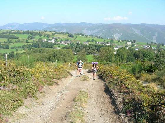
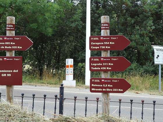
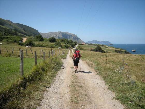
The French Way follows the GR 65 and is the most popular of the routes of the Way of St. James, the ancient pilgrimage route to Santiago de Compostela in Galicia, Spain. It runs from Saint-Jean-Pied-de-Port on the French side of the Pyrenees to Roncesvalles on the Spanish side and then another 780 kilometres on to Santiago de Compostela through the major cities of Pamplona, Logroño, Burgos and León. A typical walk on the Camino francés takes at least four weeks, allowing for one or two rest days on the way.
From the Wikipedia article “French Way”, CC BY-SA 4.0.
Trail facts
- Countries
- Spain
- Continent
- Europe
- Trail point
- 42.59944, -5.56667 (Wikidata coordinate)
- Wikidata
- Q1029584
- OpenStreetMap
- relation 2163573
Hiked it?
Log this hikeAdd a GPX file for the Verified Track badge. The first and last 500 m are trimmed off before anything is measured, and the file itself is not kept.
Photo: “CatedraldeLeóniluminada.JPG” by Frobles, CC BY-SA 4.0, via Wikimedia Commons (resized).