7-day forecast
Open-Meteo · trail point · local dates · last updated Nov 11, 2026, 3:10 PM PTThu 12
Light drizzle
11°C / 3°C
2% · 0.3 mm
Wind 17 km/h
FairFri 13
Overcast
10°C / 0°C
0% · 0.0 mm
Wind 12 km/h
GoodSat 14
Overcast
9°C / -0°C
6% · 0.0 mm
Wind 16 km/h
GoodSun 15
Drizzle
13°C / 4°C
80% · 5.1 mm
Wind 28 km/h
PoorMon 16
Light drizzle
11°C / 6°C
73% · 4.7 mm
Wind 28 km/h
PoorTue 17
Light drizzle
9°C / 4°C
70% · 4.0 mm
Wind 24 km/h
PoorWed 18
Drizzle
12°C / 6°C
67% · 8.6 mm
Wind 28 km/h
FairRoute
No route line in this build. No OpenStreetMap route relation is linked for this trail.
About this trail
The GR12 is a transnational long-distance hiking trail and leads from Amsterdam via Brussels to Paris. Of the 977 km of the GR 12, 222 km run in the Netherlands, 197 km in Flanders, 212 km in Wallonia and the longest section of 346 km in France.
From the Wikipedia article “GR 12”, CC BY-SA 4.0.
Trail facts
- Countries
- Belgium, France
- Continent
- Europe
- Trail point
- 49.52030, 4.08210 (Wikidata coordinate)
- Wikidata
- Q2364727
Hiked it?
Log this hikeAdd a GPX file for the Verified Track badge. The first and last 500 m are trimmed off before anything is measured, and the file itself is not kept.
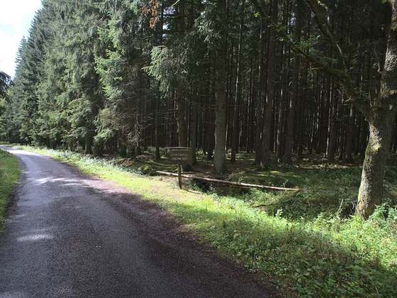
Photo: “Chaussée Brunehaut - Forêt de Chantilly - parc188-189.jpg” by Mel22, CC BY 3.0, via Wikimedia Commons (resized).