7-day forecast
Open-Meteo · trail point · local dates · last updated Nov 11, 2026, 3:10 PM PTThu 12
Light rain
10°C / 8°C
30% · 0.3 mm
Wind 32 km/h
FairFri 13
Overcast
10°C / 1°C
3% · 0.0 mm
Wind 25 km/h
GoodSat 14
Fog
8°C / 0°C
0% · 0.0 mm
Wind 19 km/h
GoodSun 15
Light rain
13°C / 4°C
57% · 2.4 mm
Wind 31 km/h
FairMon 16
Rain showers
11°C / 9°C
61% · 6.6 mm
Wind 37 km/h
FairTue 17
Thunderstorm
16°C / 10°C
90% · 10.8 mm
Wind 37 km/h
PoorWed 18
Overcast
13°C / 10°C
75% · 0.0 mm
Wind 42 km/h
PoorRoute
Route line © OpenStreetMap contributors (ODbL), simplified. Dot: trail point.
About this trail
The GR21 is a long-distance hiking trail in Normandy, France. It is part of the GR network of trails. It begins at the port city of Le Havre, a Unesco World Heritage Site, climbs through parkland to Montivilliers, then follows the chalk cliffs of the Pays de Caux for most of the route. Étretat is known for its chalk formations, painted by Claude Monet and other artists. It passes through various seaside resorts and fishing villages, including the port of Dieppe and finishes at the resort of Le Tréport, close to the historic town of Eu. The whole route is within the Seine-Maritime département.
From the Wikipedia article “GR 21”, CC BY-SA 4.0.
Trail facts
- Countries
- France
- Continent
- Europe
- Trail point
- 49.83510, 0.59870 (Wikidata coordinate)
- OSM network
- National walking network
- Wikidata
- Q3478703
- OpenStreetMap
- relation 2167510
Hiked it?
Log this hikeAdd a GPX file for the Verified Track badge. The first and last 500 m are trimmed off before anything is measured, and the file itself is not kept.
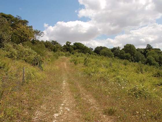
Photo: “Gr21.jpg” by NguyenAiQuoc, CC BY-SA 3.0, via Wikimedia Commons (resized).