7-day forecast
Open-Meteo · trail point · local dates · last updated Nov 11, 2026, 3:10 PM PTThu 12
Light drizzle
12°C / 9°C
8% · 0.0 mm
Wind 29 km/h
FairFri 13
Overcast
11°C / 5°C
0% · 0.2 mm
Wind 17 km/h
GoodSat 14
Overcast
10°C / 3°C
4% · 0.0 mm
Wind 23 km/h
GoodSun 15
Drizzle
13°C / 6°C
65% · 4.1 mm
Wind 33 km/h
FairMon 16
Light rain
11°C / 5°C
60% · 7.4 mm
Wind 31 km/h
FairTue 17
Drizzle
12°C / 5°C
75% · 3.6 mm
Wind 31 km/h
PoorWed 18
Overcast
14°C / 9°C
57% · 0.0 mm
Wind 26 km/h
FairRoute
No route line in this build. This is a very long route, so only its start point is used.
About this trail
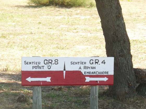
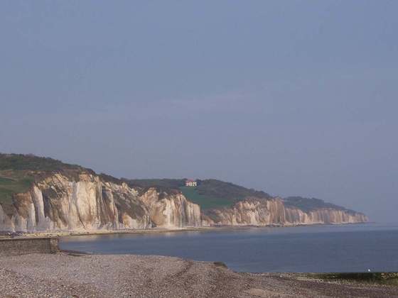
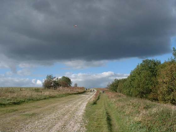
The long-distance hiking trail 34 is a French coastal path that starts from Mont-Saint-Michel (Manche) and ends in Saint-Nazaire (Loire-Atlantique). It runs along almost the entire coast of the Brittany region from Mont Saint-Michel and, beyond the limit between Morbihan and Loire-Atlantique, to the mouth of the Loire. It stretches over 1,700 kilometres. It largely follows former customs paths. These paths, gradually abandoned during the first half of the 20th century, allowed customs officers to patrol the coast from their guardhouses, located at key observation points on the Brittany coast.
From the Wikipedia article “GR 34”, CC BY-SA 4.0.
Trail facts
- Length
- 2,000 km · 1,243 mi (Wikidata)
- Countries
- France
- Continent
- Europe
- Trail point
- 48.63600, -1.51140 (Wikidata coordinate)
- Wikidata
- Q3478712
- OpenStreetMap
- relation 7790332
Hiked it?
Log this hikeAdd a GPX file for the Verified Track badge. The first and last 500 m are trimmed off before anything is measured, and the file itself is not kept.
Photo: “Saint-Jean-du-Doigt - GR 34 - 023.jpg” by Thesupermat, CC BY-SA 4.0, via Wikimedia Commons (resized).