7-day forecast
Open-Meteo · trail point · local dates · last updated Nov 11, 2026, 3:10 PM PTThu 12
Rain showers
14°C / 9°C
100% · 1.8 mm
Wind 31 km/h
PoorFri 13
Overcast
13°C / 8°C
3% · 0.0 mm
Wind 28 km/h
GoodSat 14
Rain showers
12°C / 8°C
46% · 1.4 mm
Wind 13 km/h
FairSun 15
Light rain
12°C / 8°C
46% · 0.3 mm
Wind 17 km/h
FairMon 16
Light rain
14°C / 7°C
30% · 1.2 mm
Wind 11 km/h
FairTue 17
Rain showers
15°C / 10°C
50% · 6.3 mm
Wind 15 km/h
FairWed 18
Overcast
13°C / 7°C
34% · 0.0 mm
Wind 19 km/h
FairRoute
No route line in this build. This is a very long route, so only its start point is used.
About this trail
The GR 7 is a long-distance footpath in Spain, Andorra and France. One of the GR footpaths, it is part of both the Spanish network of Senderos de Gran Recorrido and the French network of Sentiers de Grandes Randonnées. Part of GR 7 forms the south-westernmost part of the European walking route E4 in Spain. GR 7 runs from Tarifa, near Gibraltar, across Spain, through France into Andorra, and back into France to Mont Aigoual and Aire-de-Côte in the Cévennes. GR 7 continues north from the Cévennes mountains and the final 250 km end on the top of the Ballon d'Alsace, Alsace, northern France; here it meets E5.
From the Wikipedia article “GR 7”, CC BY-SA 4.0.
Trail facts
- Length
- 1,471 km · 914 mi (Wikidata)
- Countries
- Andorra, Spain, France
- Continent
- Europe
- Trail point
- 40.72889, 0.19417 (Wikidata coordinate)
- Wikidata
- Q39090
- OpenStreetMap
- relation 2748977
Hiked it?
Log this hikeAdd a GPX file for the Verified Track badge. The first and last 500 m are trimmed off before anything is measured, and the file itself is not kept.
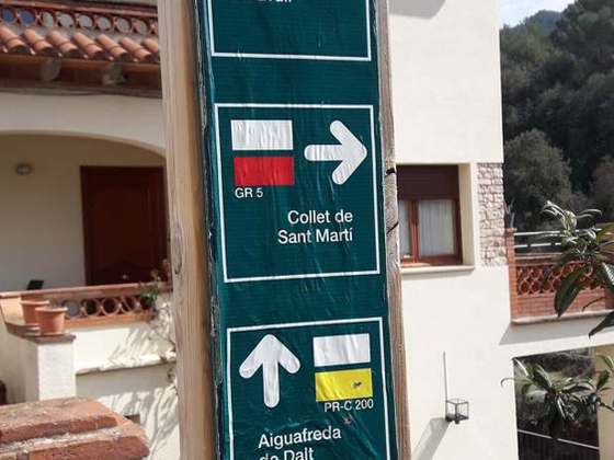
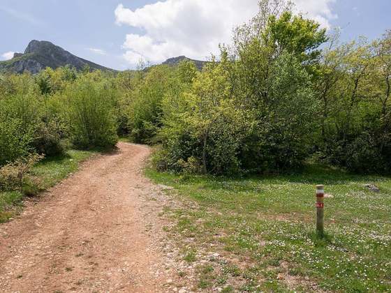
Photo: “Poste GR7 Tejo.JPG” by José Fco. Català Senent, CC BY-SA 2.5, via Wikimedia Commons (resized).