Trails › North America › Canada
Great Divide Trail
7-day forecast
Open-Meteo · trail point · local dates · last updated Nov 11, 2026, 3:10 PM PTWed 11
Light snow
2°C / -5°C
57% · 0.5 mm
Wind 10 km/h
FairThu 12
Overcast
3°C / -8°C
0% · 0.0 mm
Wind 5 km/h
GoodFri 13
Overcast
4°C / -8°C
0% · 0.0 mm
Wind 2 km/h
GoodSat 14
Light drizzle
2°C / -9°C
18% · 0.1 mm
Wind 6 km/h
FairSun 15
Snow
-0°C / -6°C
33% · 0.6 mm
Wind 9 km/h
FairMon 16
Snow showers
-2°C / -14°C
47% · 3.3 mm
Wind 5 km/h
FairTue 17
Fog
-6°C / -16°C
16% · 0.0 mm
Wind 4 km/h
GoodRoute
No route line in this build. This is a very long route, so only its start point is used.
About this trail
The Great Divide Trail (GDT) is a hiking trail in the Canadian Rockies, made up of several trails connected by roads and wilderness routes. It closely follows the Great Divide between Alberta and British Columbia, crossing it more than 30 times. Its southern terminus is at the Canada–US border, and its northern terminus is at Kakwa Lake, north of Jasper National Park. The trail is 1,095 km (680 mi) long and ranges in elevation from 1,055 m (3,461 ft) to 2,590 m (8,500 ft). Although the idea and first trail work goes back to the 1960s, the project went dormant for decades until the early 2000s.
From the Wikipedia article “Great Divide Trail”, CC BY-SA 4.0.
Trail facts
- Length
- 1,095 km · 680 mi (Wikidata)
- Countries
- Canada
- Continent
- North America
- Trail point
- 51.68667, -116.67500 (Wikidata coordinate)
- Wikidata
- Q5599072
- OpenStreetMap
- relation 8139599
Hiked it?
Log this hikeAdd a GPX file for the Verified Track badge. The first and last 500 m are trimmed off before anything is measured, and the file itself is not kept.
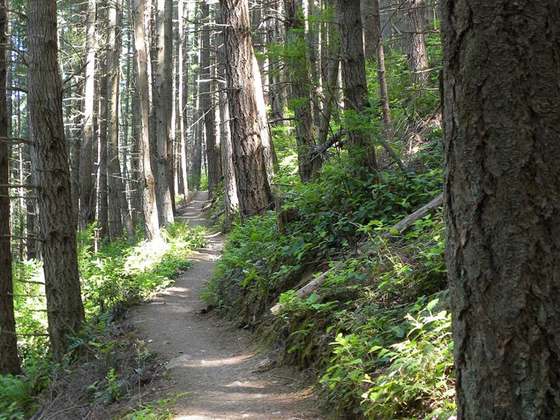
Photo: “GDT-Basemap.jpg” by Brad Vaillencourt, CC BY-SA 4.0, via Wikimedia Commons (resized).