7-day forecast
Open-Meteo · trail point · local dates · last updated Nov 11, 2026, 3:10 PM PTThu 12
Rain showers
6°C / 2°C
90% · 2.9 mm
Wind 11 km/h
PoorFri 13
Snow showers
4°C / -0°C
8% · 0.1 mm
Wind 22 km/h
FairSat 14
Overcast
6°C / 0°C
3% · 0.0 mm
Wind 15 km/h
GoodSun 15
Light rain
8°C / 1°C
6% · 0.0 mm
Wind 21 km/h
FairMon 16
Light rain
7°C / 5°C
24% · 0.6 mm
Wind 20 km/h
FairTue 17
Light rain
10°C / 4°C
47% · 1.3 mm
Wind 25 km/h
FairWed 18
Light rain
12°C / 9°C
48% · 5.0 mm
Wind 21 km/h
FairRoute
No route line in this build. No OpenStreetMap route relation is linked for this trail.
About this trail
The Holy Way came about as a result of the canonization of Bishop Benno of Meissen. It led from Bohemia to Meissen and ran between Grillenburg and Wilsdruff in the present-day district of Sächsische Schweiz-Osterzgebirge in the opposite direction and parallel with the Saxon St. James' Way. Original sections of the route have survived, for example in the Tharandt Forest between Grillenburg and Spechtshausen.
From the Wikipedia article “Holy Way”, CC BY-SA 4.0.
Trail facts
Hiked it?
Log this hikeAdd a GPX file for the Verified Track badge. The first and last 500 m are trimmed off before anything is measured, and the file itself is not kept.
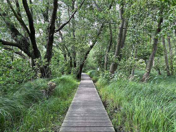
Photo: “BeschilderungPilgerwegGrumbach230722FotoAndreKaiser.jpg” by Foto Andre Kaiser, CC BY-SA 4.0, via Wikimedia Commons (resized).