7-day forecast
Open-Meteo · trail point · local dates · last updated Nov 11, 2026, 3:10 PM PTThu 12
Overcast
23°C / 13°C
0% · 0.0 mm
Wind 13 km/h
GoodFri 13
Overcast
25°C / 15°C
0% · 0.0 mm
Wind 17 km/h
GoodSat 14
Overcast
26°C / 16°C
0% · 0.0 mm
Wind 16 km/h
GoodSun 15
Partly cloudy
24°C / 15°C
0% · 0.0 mm
Wind 19 km/h
GoodMon 16
Fog
23°C / 15°C
2% · 0.0 mm
Wind 19 km/h
GoodTue 17
Fog
23°C / 15°C
3% · 0.0 mm
Wind 14 km/h
GoodWed 18
Rain showers
22°C / 15°C
3% · 0.6 mm
Wind 15 km/h
FairRoute
Route line © OpenStreetMap contributors (ODbL), simplified. Dot: trail point.
About this trail
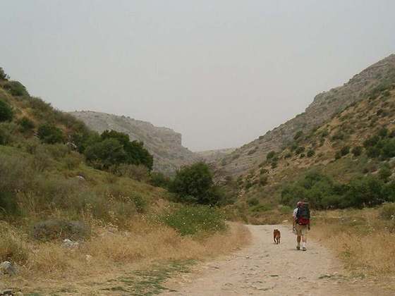
The Jesus Trail is a 65 km (40 mi) hiking and pilgrimage route in the Galilee region of Israel that traces the route Jesus may have walked, connecting many sites from his life and ministry. The main part of the trail begins in Nazareth and passes through Sepphoris, Cana, the Horns of Hattin, Mount Arbel Cliffs, the Sea of Galilee, Capernaum, Tabgha, and the Mount of Beatitudes. An alternate return route passes by Tiberias, the Jordan River, Mount Tabor, and Mount Precipice.
From the Wikipedia article “Jesus Trail”, CC BY-SA 4.0.
Trail facts
- Length
- 65 km · 40 mi (Wikidata)
- Countries
- Israel
- Continent
- Asia
- Trail point
- 32.75222, 35.28111 (Wikidata coordinate)
- OSM network
- Regional walking network
- Operator (OSM)
- itc
- Wikidata
- Q1149449
- OpenStreetMap
- relation 364191
- Official info
- jesustrail.com
Hiked it?
Log this hikeAdd a GPX file for the Verified Track badge. The first and last 500 m are trimmed off before anything is measured, and the file itself is not kept.
Photo: “Walking the Jesus Trail.JPG” by Zeromancer44, CC BY-SA 3.0, via Wikimedia Commons (resized).