7-day forecast
Open-Meteo · trail point · local dates · last updated Nov 11, 2026, 3:10 PM PTWed 11
Overcast
7°C / -1°C
9% · 0.0 mm
Wind 23 km/h
GoodThu 12
Partly cloudy
7°C / 0°C
12% · 0.0 mm
Wind 27 km/h
GoodFri 13
Overcast
7°C / 1°C
0% · 0.0 mm
Wind 23 km/h
GoodSat 14
Overcast
8°C / 5°C
7% · 0.0 mm
Wind 28 km/h
GoodSun 15
Rain
10°C / 6°C
76% · 22.3 mm
Wind 31 km/h
PoorMon 16
Thunderstorm
9°C / 4°C
78% · 40.0 mm
Wind 47 km/h
PoorTue 17
Light drizzle
4°C / 0°C
38% · 0.1 mm
Wind 22 km/h
FairRoute
Route line © OpenStreetMap contributors (ODbL), simplified. Dot: trail point.
About this trail
The John Muir Way is a 215-kilometre (130 mi) continuous long-distance route in southern Scotland, running from Helensburgh, Argyll and Bute in the west to Dunbar, East Lothian in the east. It is named in honour of the Scottish conservationist John Muir, who was born in Dunbar in 1838 and became a founder of the United States National Park Service. The route provides a coast-to-coast route across Scotland, linking Muir's birthplace with Scotland's first national park, Loch Lomond and The Trossachs, and Helensburgh, from where he left Scotland for the United States. It is suitable for walkers and cyclists although some sections are on rougher terrain and may not be suitable for road bicycles.
From the Wikipedia article “John Muir Way”, CC BY-SA 4.0.
Trail facts
- Length
- 215 km · 134 mi (Wikidata)
- Countries
- United Kingdom
- Continent
- Europe
- Trail point
- 56.00412, -2.51955 (OpenStreetMap route (first mapped point))
- OSM network
- Regional walking network
- Operator (OSM)
- East Lothian Council
- Wikidata
- Q6249716
- OpenStreetMap
- relation 3586270
- Official info
- johnmuirway.org
Hiked it?
Log this hikeAdd a GPX file for the Verified Track badge. The first and last 500 m are trimmed off before anything is measured, and the file itself is not kept.
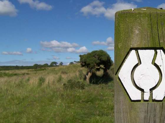
Photo: “The John Muir Way sign.jpg” by Dunk 🐝, CC BY 2.0, via Wikimedia Commons (resized).