7-day forecast
Open-Meteo · trail point · local dates · last updated Nov 11, 2026, 3:10 PM PTWed 11
Overcast
7°C / -2°C
0% · 0.0 mm
Wind 12 km/h
GoodThu 12
Partly cloudy
6°C / -1°C
0% · 0.0 mm
Wind 23 km/h
GoodFri 13
Overcast
7°C / -1°C
0% · 0.0 mm
Wind 16 km/h
GoodSat 14
Overcast
8°C / 4°C
20% · 0.0 mm
Wind 21 km/h
GoodSun 15
Light rain
8°C / 5°C
61% · 11.8 mm
Wind 19 km/h
FairMon 16
Light rain
7°C / 2°C
75% · 30.2 mm
Wind 38 km/h
PoorTue 17
Overcast
4°C / -3°C
32% · 0.0 mm
Wind 12 km/h
FairRoute
Route line © OpenStreetMap contributors (ODbL), simplified. Dot: trail point.
About this trail
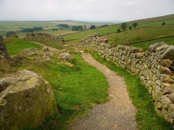
The Borders Abbeys Way is a long-distance footpath in the Scottish Borders area of Scotland. It is a circular walkway and is 109 kilometres (68 mi) in length. The theme of the footpath is the ruined Borders abbeys along its way: Kelso Abbey, Jedburgh Abbey, Melrose Abbey and Dryburgh Abbey. These abbeys were homes to monks, who lived there between the 12th and 16th centuries. The route also passes through the towns of Hawick and Selkirk, and close to Abbotsford House, the home of Sir Walter Scott. Along the Borders Abbeys Way there are several rivers: Jed Water, River Teviot, River Tweed, Ale Water, and Rule Water.
From the Wikipedia article “Borders Abbeys Way”, CC BY-SA 4.0.
Trail facts
- Length
- 104 km · 64 mi (Wikidata)
- Countries
- United Kingdom
- Continent
- Europe
- Trail point
- 55.57810, -2.56970 (Wikidata coordinate)
- OSM network
- National walking network
- Operator (OSM)
- Scottish Borders Council
- Wikidata
- Q4944698
- OpenStreetMap
- relation 1713853
- Official info
- scotborders.gov.uk/bordersabbeysway
Hiked it?
Log this hikeAdd a GPX file for the Verified Track badge. The first and last 500 m are trimmed off before anything is measured, and the file itself is not kept.