7-day forecast
Open-Meteo · trail point · local dates · last updated Nov 11, 2026, 3:10 PM PTWed 11
Light drizzle
11°C / 4°C
100% · 0.3 mm
Wind 14 km/h
PoorThu 12
Partly cloudy
8°C / -1°C
0% · 0.0 mm
Wind 16 km/h
GoodFri 13
Overcast
9°C / -2°C
0% · 0.0 mm
Wind 10 km/h
GoodSat 14
Drizzle
11°C / 7°C
84% · 2.4 mm
Wind 25 km/h
PoorSun 15
Light rain
12°C / 7°C
78% · 6.9 mm
Wind 20 km/h
PoorMon 16
Light rain
8°C / 5°C
49% · 3.7 mm
Wind 18 km/h
FairTue 17
Light rain
7°C / 4°C
73% · 8.3 mm
Wind 19 km/h
PoorRoute
Route line © OpenStreetMap contributors (ODbL), simplified. Dot: trail point.
About this trail
The Kerry Way is a long-distance trail in County Kerry, Ireland. It is a 214-kilometre (133-mile) long circular trail that begins and ends in Killarney and is typically broken into nine stages. It is designated as a National Waymarked Trail by the National Trails Office of the Irish Sports Council and is managed by Kerry County Council, South Kerry Development Partnership and the Kerry Way Committee. The Way circles the Iveragh Peninsula and forms a walkers' version of the Ring of Kerry road tour. It is the longest of Ireland's National Waymarked Trails.
From the Wikipedia article “Kerry Way”, CC BY-SA 4.0.
Trail facts
- Length
- 214 km · 133 mi (Wikidata)
- Countries
- Ireland
- Continent
- Europe
- Trail point
- 52.05889, -9.50861 (Wikidata coordinate)
- OSM network
- National walking network
- Wikidata
- Q1739608
- OpenStreetMap
- relation 183744
- Official info
- sportireland.ie/redirect/trail/19
Hiked it?
Log this hikeAdd a GPX file for the Verified Track badge. The first and last 500 m are trimmed off before anything is measured, and the file itself is not kept.
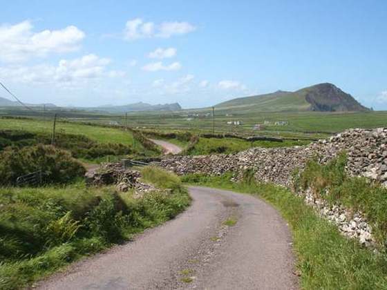
Photo: “Kerry Way, view south - geograph.org.uk - 450687.jpg” by Espresso Addict, CC BY-SA 2.0, via Wikimedia Commons (resized).