7-day forecast
Open-Meteo · trail point · local dates · last updated Nov 11, 2026, 3:10 PM PTThu 12
Light rain
10°C / 1°C
43% · 0.3 mm
Wind 18 km/h
FairFri 13
Overcast
3°C / -2°C
8% · 0.0 mm
Wind 17 km/h
GoodSat 14
Mainly clear
4°C / -3°C
0% · 0.0 mm
Wind 10 km/h
GoodSun 15
Rain showers
9°C / 0°C
35% · 0.7 mm
Wind 18 km/h
FairMon 16
Thunderstorm
8°C / 4°C
80% · 30.4 mm
Wind 25 km/h
PoorTue 17
Rain showers
10°C / 2°C
89% · 38.8 mm
Wind 18 km/h
PoorWed 18
Rain showers
10°C / 6°C
94% · 11.4 mm
Wind 26 km/h
PoorRoute
No route line in this build. No OpenStreetMap route relation is linked for this trail.
About this trail
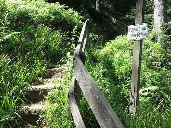
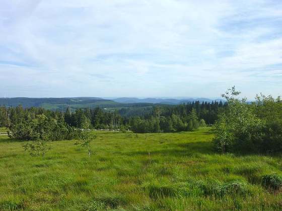
The Lothar Path is a forest experience and educational path in the Schliffkopf Nature Reserve by the Black Forest High Road between Oppenau and Baiersbronn on the B 500 in the Northern Black Forest. The name of the windthrow educational trail is derived from Hurricane Lothar, which tore through the forest here on 26 December 1999 with wind velocities of up to 200 km/h creating a wide swathe of debris.
From the Wikipedia article “Lothar Path”, CC BY-SA 4.0.
Trail facts
- Countries
- Germany
- Continent
- Europe
- Trail point
- 48.50600, 8.22230 (Wikidata coordinate)
- Wikidata
- Q1871067
- Official info
- schwarzwald.com/hochstrasse/lotharpfad.html
Hiked it?
Log this hikeAdd a GPX file for the Verified Track badge. The first and last 500 m are trimmed off before anything is measured, and the file itself is not kept.