7-day forecast
Open-Meteo · trail point · local dates · last updated Nov 11, 2026, 3:10 PM PTThu 12
Light rain
13°C / 5°C
15% · 1.2 mm
Wind 10 km/h
FairFri 13
Fog
7°C / -0°C
0% · 0.0 mm
Wind 10 km/h
GoodSat 14
Mainly clear
8°C / -1°C
0% · 0.0 mm
Wind 12 km/h
GoodSun 15
Light rain
14°C / 1°C
10% · 0.4 mm
Wind 7 km/h
FairMon 16
Rain showers
12°C / 7°C
63% · 6.5 mm
Wind 18 km/h
FairTue 17
Light rain
14°C / 6°C
75% · 13.2 mm
Wind 14 km/h
PoorWed 18
Light rain
14°C / 11°C
75% · 1.5 mm
Wind 21 km/h
PoorRoute
No route line in this build. This is a very long route, so only its start point is used.
About this trail
The Westweg is a long-distance hiking trail in Germany, running north–south through the Black Forest from Pforzheim to Basel. The trail is around 285 km long, and was founded in 1900. It is currently maintained under the auspices of the Black Forest Club. The trail symbol is a red lozenge on a white background. The Westweg is a part of the European Long-distance Trail E1 The route passes through or near numerous villages or small towns, so there is no difficulty in finding overnight accommodation and meals along the route. It would actually require more planning to walk it while staying in youth hostel-type accommodation, or camping. There are a number of services that will transport your luggage to the next accommodation by vehicle, leaving the hikers with only their daypacks for the hike. The route can be accessed at several places along its length by road or public transport, so it is easy to walk part of it or to do day walks along its route.
From the Wikipedia article “Westweg”, CC BY-SA 4.0.
Trail facts
- Length
- 285 km · 177 mi (Wikidata)
- Countries
- Germany
- Continent
- Europe
- Trail point
- 48.87749, 8.69910 (OpenStreetMap route (first mapped point))
- OSM network
- National walking network
- Operator (OSM)
- Schwarzwaldverein e.V.
- Wikidata
- Q2565728
- OpenStreetMap
- relation 62900
Hiked it?
Log this hikeAdd a GPX file for the Verified Track badge. The first and last 500 m are trimmed off before anything is measured, and the file itself is not kept.
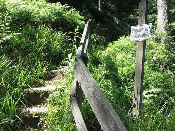
Photo: “Schliffkopf Aussicht Süd.jpg” by Adrian Michael, CC BY 2.5, via Wikimedia Commons (resized).