7-day forecast
Open-Meteo · trail point · local dates · last updated Nov 11, 2026, 3:10 PM PTThu 12
Heavy drizzle
8°C / 4°C
55% · 3.2 mm
Wind 45 km/h
FairFri 13
Partly cloudy
8°C / 4°C
15% · 0.0 mm
Wind 33 km/h
GoodSat 14
Light drizzle
8°C / 5°C
8% · 0.6 mm
Wind 24 km/h
FairSun 15
Drizzle
9°C / 4°C
41% · 1.9 mm
Wind 21 km/h
FairMon 16
Drizzle
10°C / 8°C
63% · 2.7 mm
Wind 27 km/h
FairTue 17
Light drizzle
9°C / 5°C
36% · 1.7 mm
Wind 31 km/h
FairWed 18
Drizzle
9°C / 4°C
34% · 9.4 mm
Wind 31 km/h
FairRoute
No route line in this build. This is a very long route, so only its start point is used.
About this trail
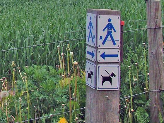
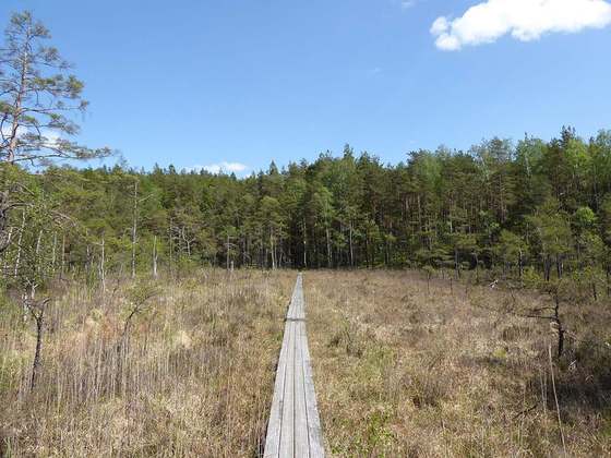
Øhavsstien is one of the longest hiking trails in Denmark. The trail goes through the South Funen Archipelago, along southern regions of Funen, as well as the islands of Tåsinge, Langeland and Ærø. It is exclusively a hiking trail, and bikes and horses are not allowed.
From the Wikipedia article “Øhavsstien”, CC BY-SA 4.0.
Trail facts
- Length
- 220 km · 137 mi (OpenStreetMap distance tag)
- Countries
- Denmark
- Continent
- Europe
- Trail point
- 55.06670, 10.53330 (Wikidata coordinate)
- OSM network
- Regional walking network
- Wikidata
- Q12341954
- OpenStreetMap
- relation 1202410
- Official info
- detsydfynskeoehav.dk/23-havsstien.html
Hiked it?
Log this hikeAdd a GPX file for the Verified Track badge. The first and last 500 m are trimmed off before anything is measured, and the file itself is not kept.