7-day forecast
Open-Meteo · trail point · local dates · last updated Nov 11, 2026, 3:10 PM PTThu 12
Light rain
6°C / 4°C
91% · 2.7 mm
Wind 37 km/h
PoorFri 13
Drizzle
6°C / 2°C
51% · 0.7 mm
Wind 23 km/h
FairSat 14
Partly cloudy
8°C / 1°C
14% · 0.0 mm
Wind 22 km/h
GoodSun 15
Overcast
9°C / 5°C
14% · 0.0 mm
Wind 26 km/h
GoodMon 16
Drizzle
11°C / 8°C
57% · 5.4 mm
Wind 28 km/h
FairTue 17
Drizzle
9°C / 5°C
33% · 3.3 mm
Wind 30 km/h
FairWed 18
Drizzle
8°C / 5°C
43% · 8.8 mm
Wind 22 km/h
FairRoute
No route line in this build. This is a very long route, so only its start point is used.
About this trail
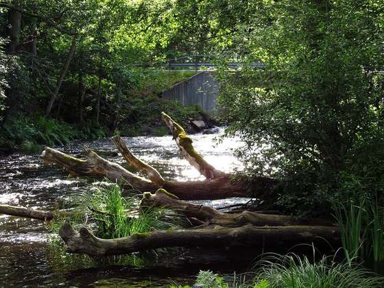
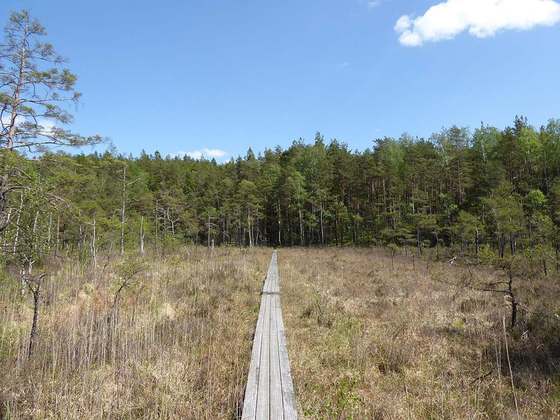
The Skåneleden trail is a long-distance walking trail that stretches all over the countryside of Skåne, in southern Sweden. The trail spans around 1,600 kilometres (990 mi) and is divided into seven sub-trails, with a total of 148 sections. The trail can easily be recognized by the orange trail marks along the footpath. The trail runs from the west to east and from north to south and passes through a highly diversified landscape such as rocky coastlines, undulating ridges, deep forests and white sandy beaches. Parts of the trail are accessible by wheelchair.
From the Wikipedia article “Skåneleden”, CC BY-SA 4.0.
Trail facts
- Length
- 1,300 km · 808 mi (Wikidata)
- Countries
- Sweden
- Continent
- Europe
- Trail point
- 56.05017, 14.58343 (OpenStreetMap route (first mapped point))
- OSM network
- hiking
- Operator (OSM)
- Region Skåne
- Wikidata
- Q1476096
- OpenStreetMap
- relation 1014050
- Official info
- skaneleden.se
Hiked it?
Log this hikeAdd a GPX file for the Verified Track badge. The first and last 500 m are trimmed off before anything is measured, and the file itself is not kept.