7-day forecast
Open-Meteo · trail point · local dates · last updated Nov 11, 2026, 3:10 PM PTThu 12
Light drizzle
6°C / 2°C
92% · 0.1 mm
Wind 15 km/h
PoorFri 13
Overcast
4°C / 1°C
27% · 0.0 mm
Wind 16 km/h
GoodSat 14
Overcast
7°C / -1°C
6% · 0.0 mm
Wind 24 km/h
GoodSun 15
Light drizzle
8°C / 4°C
18% · 0.9 mm
Wind 21 km/h
FairMon 16
Drizzle
10°C / 6°C
37% · 3.3 mm
Wind 18 km/h
FairTue 17
Light drizzle
8°C / 4°C
29% · 3.6 mm
Wind 21 km/h
FairWed 18
Light drizzle
6°C / 1°C
33% · 3.4 mm
Wind 17 km/h
FairRoute
No route line in this build. This is a very long route, so only its start point is used.
About this trail
Ostkustleden is a 99-mile (160 km) long hiking trail in the south-east of Sweden. The trail extends within the borders of Oskarshamn municipality. Ostkustleden was created between 1970 and 1977 by the environmental nonprofit organization Döderhults naturskyddsförening. The trail starts six miles outside Oskarshamn at Lilla Hycklinge. Along the trail there are cabins which can be rented for accommodation.
From the Wikipedia article “Ostkustleden”, CC BY-SA 4.0.
Trail facts
- Length
- 159 km · 99 mi (Wikidata)
- Countries
- Sweden
- Continent
- Europe
- Trail point
- 57.27607, 16.38237 (Wikidata coordinate)
- Wikidata
- Q10613163
- OpenStreetMap
- relation 3649216
Hiked it?
Log this hikeAdd a GPX file for the Verified Track badge. The first and last 500 m are trimmed off before anything is measured, and the file itself is not kept.
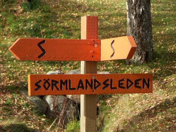
Photo: “Viran.JPG” by Anchor2009, CC BY-SA 3.0, via Wikimedia Commons (resized).