7-day forecast
Open-Meteo · trail point · local dates · last updated Nov 11, 2026, 3:10 PM PTWed 11
Overcast
7°C / 2°C
33% · 0.0 mm
Wind 15 km/h
FairThu 12
Overcast
5°C / -1°C
0% · 0.0 mm
Wind 18 km/h
GoodFri 13
Partly cloudy
5°C / -2°C
0% · 0.0 mm
Wind 12 km/h
GoodSat 14
Overcast
5°C / 2°C
0% · 0.0 mm
Wind 19 km/h
GoodSun 15
Light rain
7°C / 4°C
77% · 9.2 mm
Wind 17 km/h
PoorMon 16
Drizzle
6°C / 2°C
41% · 1.3 mm
Wind 23 km/h
FairTue 17
Overcast
4°C / -0°C
59% · 0.0 mm
Wind 19 km/h
FairRoute
Route line © OpenStreetMap contributors (ODbL), simplified. Dot: trail point.
About this trail
The Pennine Bridleway is a National Trail in Northern England.
From the Wikipedia article “Pennine Bridleway”, CC BY-SA 4.0.
Trail facts
- Length
- 330 km · 205 mi (Wikidata)
- Countries
- United Kingdom
- Continent
- Europe
- Trail point
- 53.09320, -1.58864 (OpenStreetMap route (first mapped point))
- OSM network
- ncn;nhn;nwn
- Operator (OSM)
- National Trails
- Wikidata
- Q2069097
- OpenStreetMap
- relation 50288
Hiked it?
Log this hikeAdd a GPX file for the Verified Track badge. The first and last 500 m are trimmed off before anything is measured, and the file itself is not kept.
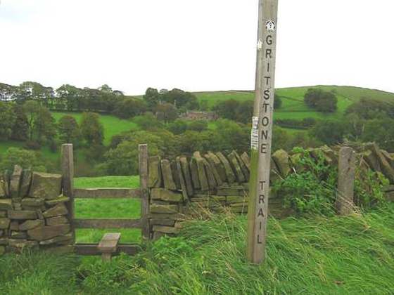
Photo: “Pennine Bridleway signpost.jpg” by No machine-readable author provided. Hogyn Lleol assumed (based on copyright claims)., Public domain, via Wikimedia Commons (resized).