7-day forecast
Open-Meteo · trail point · local dates · last updated Nov 11, 2026, 3:10 PM PTWed 11
Overcast
7°C / 4°C
14% · 0.0 mm
Wind 17 km/h
GoodThu 12
Partly cloudy
5°C / 1°C
0% · 0.0 mm
Wind 14 km/h
GoodFri 13
Mainly clear
4°C / 1°C
0% · 0.0 mm
Wind 16 km/h
GoodSat 14
Overcast
6°C / 3°C
0% · 0.0 mm
Wind 21 km/h
GoodSun 15
Light rain
7°C / 4°C
74% · 7.8 mm
Wind 19 km/h
PoorMon 16
Light drizzle
7°C / 2°C
57% · 3.3 mm
Wind 23 km/h
FairTue 17
Overcast
2°C / 0°C
57% · 0.0 mm
Wind 19 km/h
FairRoute
No route line in this build. This is a very long route, so only its start point is used.
About this trail
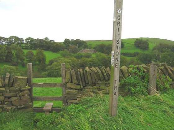
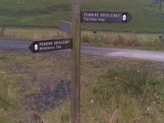
The Pennine Way is a National Trail in England, with a small section in Scotland. The trail stretches for 268 miles (431 km) from Edale, in the northern Derbyshire Peak District, north through the Yorkshire Dales and Northumberland National Park and ends at Kirk Yetholm, just inside the Scottish border. The path runs along the Pennine hills, sometimes described as the "backbone of England". Although not the United Kingdom's longest National Trail, it is, according to the Ramblers, "one of Britain's best known and toughest".
From the Wikipedia article “Pennine Way”, CC BY-SA 4.0.
Trail facts
- Length
- 431 km · 268 mi (OpenStreetMap distance tag)
- Countries
- United Kingdom
- Continent
- Europe
- Trail point
- 53.37060, -1.81680 (Wikidata coordinate)
- OSM network
- National walking network
- Operator (OSM)
- National Trails
- Wikidata
- Q1478622
- OpenStreetMap
- relation 4080347
Hiked it?
Log this hikeAdd a GPX file for the Verified Track badge. The first and last 500 m are trimmed off before anything is measured, and the file itself is not kept.
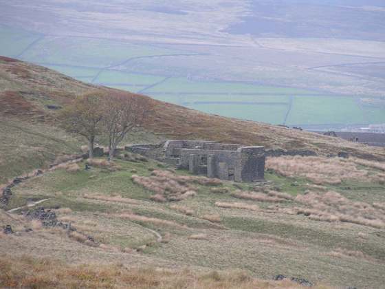
Photo: “Pennine scenery.jpg” by Unknown author, Public domain, via Wikimedia Commons (resized).