7-day forecast
Open-Meteo · trail point · local dates · last updated Nov 11, 2026, 3:10 PM PTWed 11
Light drizzle
5°C / -0°C
0% · 0.2 mm
Wind 12 km/h
FairThu 12
Light drizzle
5°C / 1°C
0% · 0.1 mm
Wind 14 km/h
FairFri 13
Light drizzle
6°C / 1°C
27% · 1.1 mm
Wind 15 km/h
FairSat 14
Heavy drizzle
6°C / 3°C
82% · 9.2 mm
Wind 24 km/h
PoorSun 15
Light rain
6°C / 2°C
91% · 15.4 mm
Wind 18 km/h
PoorMon 16
Light drizzle
3°C / -2°C
49% · 0.2 mm
Wind 18 km/h
FairTue 17
Overcast
1°C / -3°C
25% · 0.0 mm
Wind 9 km/h
GoodRoute
No route line in this build. This is a very long route, so only its start point is used.
About this trail
The West Highland Way is a linear long-distance route in Scotland. It is 154 km long, running from Milngavie north of Glasgow to Fort William in the Scottish Highlands, with an element of hill walking in the route. The trail, which opened in 1980, was Scotland's first officially designated Long Distance Route, and is now designated by NatureScot as one of Scotland's Great Trails. It is primarily intended as a long distance walking route, and whilst many sections are suitable for mountain biking and horseriding there are obstacles and surfaces that will require these users to dismount in places.
From the Wikipedia article “West Highland Way”, CC BY-SA 4.0.
Trail facts
- Length
- 154 km · 96 mi (Wikidata)
- Countries
- United Kingdom
- Continent
- Europe
- Trail point
- 56.38770, -4.63440 (Wikidata coordinate)
- OSM network
- National walking network
- Operator (OSM)
- West Highland Way Management Group
- Wikidata
- Q965998
- OpenStreetMap
- relation 16287
- Official info
- west-highland-way.co.uk
Hiked it?
Log this hikeAdd a GPX file for the Verified Track badge. The first and last 500 m are trimmed off before anything is measured, and the file itself is not kept.
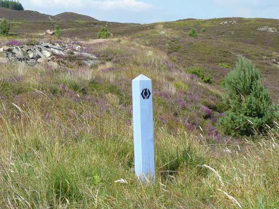
Photo: “WHW-marker near-Devils-Staircase.jpg” by Mogens Engelund, CC BY-SA 3.0, via Wikimedia Commons (resized).