7-day forecast
Open-Meteo · trail point · local dates · last updated Nov 11, 2026, 3:10 PM PTWed 11
Drizzle
9°C / 5°C
100% · 4.3 mm
Wind 14 km/h
PoorThu 12
Overcast
6°C / 0°C
0% · 0.0 mm
Wind 19 km/h
GoodFri 13
Clear sky
5°C / -1°C
0% · 0.0 mm
Wind 9 km/h
GoodSat 14
Overcast
7°C / -2°C
0% · 0.0 mm
Wind 13 km/h
GoodSun 15
Light rain
9°C / 3°C
83% · 9.0 mm
Wind 18 km/h
PoorMon 16
Light rain
8°C / 2°C
20% · 2.4 mm
Wind 24 km/h
FairTue 17
Light rain
4°C / 1°C
64% · 14.2 mm
Wind 16 km/h
FairRoute
Route line © OpenStreetMap contributors (ODbL), simplified. Dot: trail point.
About this trail
The Ridgeway is a ridgeway or ancient trackway described as Britain's oldest road. The section clearly identified as an ancient trackway extends from Wiltshire along the chalk ridge of the Berkshire Downs to the River Thames at the Goring Gap, part of the Icknield Way which ran, not always on the ridge, from Salisbury Plain to East Anglia. The route was adapted and extended as a National Trail, created in 1972. The Ridgeway National Trail follows the ancient Ridgeway from Overton Hill, near Avebury, to Streatley, then follows footpaths and parts of the ancient Icknield Way through the Chiltern Hills to Ivinghoe Beacon in Buckinghamshire. The National Trail is 87 miles (140 km) long.
From the Wikipedia article “The Ridgeway”, CC BY-SA 4.0.
Trail facts
- Length
- 140 km · 87 mi (OpenStreetMap distance tag)
- Countries
- United Kingdom
- Continent
- Europe
- Trail point
- 51.56333, -1.35000 (Wikidata coordinate)
- OSM network
- National walking network
- Operator (OSM)
- National Trails
- Wikidata
- Q590196
- OpenStreetMap
- relation 8879
Hiked it?
Log this hikeAdd a GPX file for the Verified Track badge. The first and last 500 m are trimmed off before anything is measured, and the file itself is not kept.
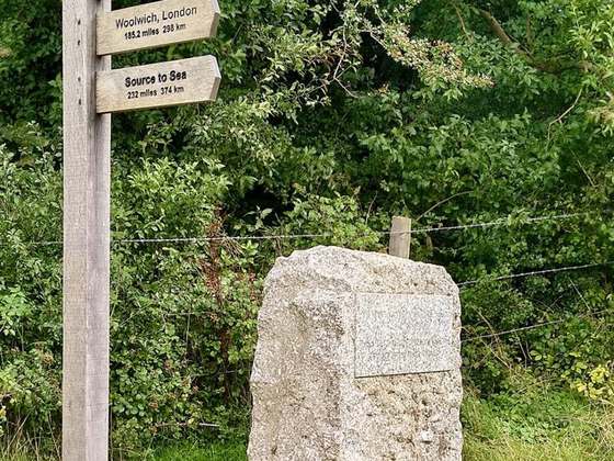
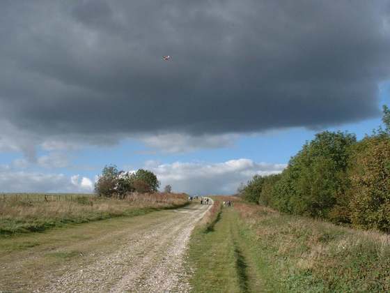
Photo: “Ridgeway mongwell.jpg” by Wormholealien, Public domain, via Wikimedia Commons (resized).