7-day forecast
Open-Meteo · trail point · local dates · last updated Nov 11, 2026, 3:10 PM PTThu 12
Light rain
12°C / 5°C
100% · 11.6 mm
Wind 19 km/h
PoorFri 13
Light rain
7°C / 1°C
60% · 2.5 mm
Wind 16 km/h
FairSat 14
Partly cloudy
8°C / -0°C
0% · 0.0 mm
Wind 12 km/h
GoodSun 15
Light rain
12°C / 2°C
38% · 0.6 mm
Wind 9 km/h
FairMon 16
Rain showers
11°C / 6°C
70% · 20.4 mm
Wind 26 km/h
PoorTue 17
Rain
15°C / 6°C
87% · 29.2 mm
Wind 25 km/h
PoorWed 18
Light rain
14°C / 10°C
88% · 5.9 mm
Wind 29 km/h
PoorRoute
No route line in this build. This is a very long route, so only its start point is used.
About this trail
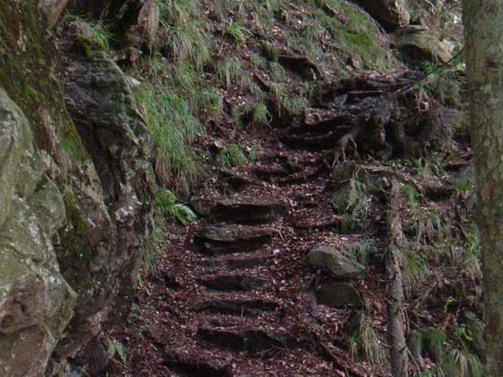
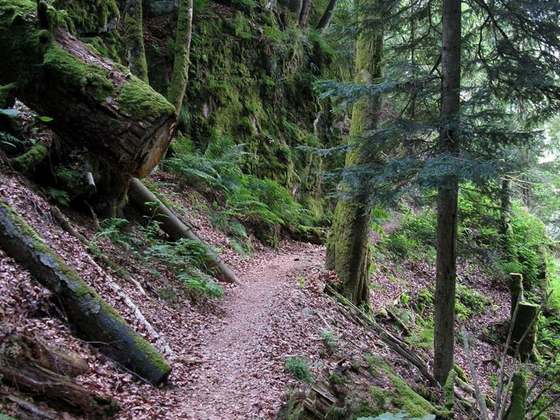
Trans-Swiss Trail is a long-distance hiking trail in Switzerland. It starts in Porrentruy in the north near the French border, and cuts south over the Alps to finish in Lugano.
From the Wikipedia article “Trans-Swiss Trail”, CC BY-SA 4.0.
Trail facts
- Length
- 500 km · 311 mi (Wikidata)
- Countries
- Switzerland
- Continent
- Europe
- Trail point
- 47.42032, 7.07946 (OpenStreetMap route (first mapped point))
- OSM network
- National walking network
- Operator (OSM)
- Wanderland Schweiz
- Wikidata
- Q2448834
- OpenStreetMap
- relation 1107386
- Official info
- schweizmobil.ch/de/wanderland/route-02.html
Hiked it?
Log this hikeAdd a GPX file for the Verified Track badge. The first and last 500 m are trimmed off before anything is measured, and the file itself is not kept.