7-day forecast
Open-Meteo · trail point · local dates · last updated Nov 11, 2026, 3:10 PM PTThu 12
Snow showers
-0°C / -2°C
100% · 9.8 mm
Wind 13 km/h
PoorFri 13
Snow showers
-2°C / -11°C
98% · 3.5 mm
Wind 18 km/h
PoorSat 14
Clear sky
-3°C / -9°C
0% · 0.0 mm
Wind 8 km/h
GoodSun 15
Snow grains
-4°C / -9°C
38% · 0.3 mm
Wind 10 km/h
FairMon 16
Snow grains
-3°C / -6°C
60% · 5.7 mm
Wind 19 km/h
FairTue 17
Snow
-1°C / -9°C
73% · 14.3 mm
Wind 20 km/h
PoorWed 18
Heavy snow
-1°C / -6°C
77% · 38.2 mm
Wind 21 km/h
PoorRoute
No route line in this build. This is a very long route, so only its start point is used.
About this trail
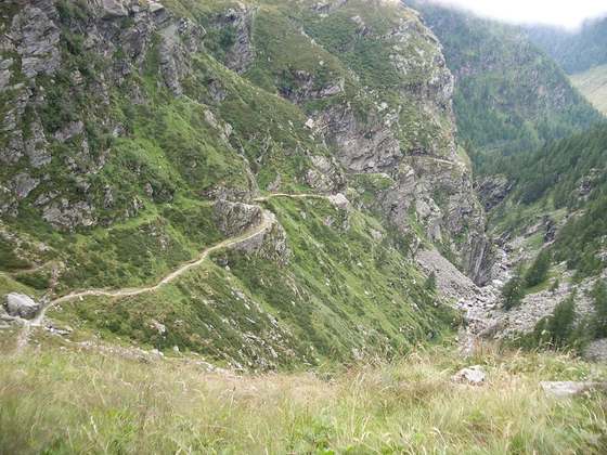
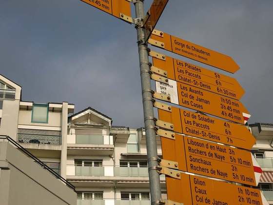
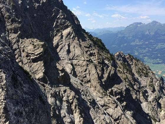
The Via Alpina is a network of five long-distance hiking trails across the alpine regions of Slovenia, Austria, Germany, Liechtenstein, Switzerland, Italy, France, and Monaco. The longest of the trails is the Red Trail, whose termini are in Trieste and Monaco.
From the Wikipedia article “Via Alpina”, CC BY-SA 4.0.
Trail facts
- Countries
- Monaco, Germany, Slovenia, Liechtenstein, France, Austria, Switzerland, Italy
- Continent
- Europe
- Trail point
- 46.43786, 9.71191 (Wikidata coordinate)
- Wikidata
- Q460455
- OpenStreetMap
- relation 285633
- Official info
- via-alpina.org
Hiked it?
Log this hikeAdd a GPX file for the Verified Track badge. The first and last 500 m are trimmed off before anything is measured, and the file itself is not kept.
Photo: “Borne Via Alpina 2 TMB @ Lac de Combal.jpg” by Rémih, CC BY-SA 4.0, via Wikimedia Commons (resized).