Trails › North America › United States
ʻĀinapō Trail
7-day forecast
Open-Meteo · trail point · local dates · last updated Nov 11, 2026, 3:10 PM PTWed 11
Mainly clear
10°C / 3°C
0% · 0.0 mm
Wind 14 km/h
GoodThu 12
Clear sky
12°C / 4°C
0% · 0.0 mm
Wind 12 km/h
GoodFri 13
Fog
10°C / 4°C
0% · 0.0 mm
Wind 9 km/h
GoodSat 14
Mainly clear
8°C / 3°C
0% · 0.0 mm
Wind 6 km/h
GoodSun 15
Overcast
10°C / 3°C
0% · 0.0 mm
Wind 7 km/h
GoodMon 16
Overcast
10°C / 2°C
2% · 0.0 mm
Wind 6 km/h
GoodTue 17
Fog
8°C / 2°C
6% · 0.0 mm
Wind 6 km/h
GoodRoute
No route line in this build. No OpenStreetMap route relation is linked for this trail.
About this trail
The ʻĀinapō Trail was the primary route to the summit of Mauna Loa from prehistory to 1916. The trail began on the southeast flank at 2000 feet of elevation and reached Mokuaweoweo, the summit crater, at 13,200 feet (4,000 m). It was sometimes called Menzies Trail after Archibald Menzies who was the first recorded outsider to climb the mountain in 1794. The Ainapo Trail was added to the National Register of Historic Places on August 30, 1974.
From the Wikipedia article “ʻĀinapō Trail”, CC BY-SA 4.0.
Trail facts
- Countries
- United States
- Continent
- North America
- Trail point
- 19.46083, -155.57750 (Wikidata coordinate)
- Wikidata
- Q4697388
Hiked it?
Log this hikeAdd a GPX file for the Verified Track badge. The first and last 500 m are trimmed off before anything is measured, and the file itself is not kept.
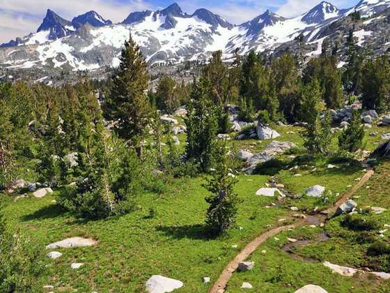
Photo: “Ainapo Trail.jpg” by National Park Service inventory, Public domain, via Wikimedia Commons (resized).