Trails › North America › United States
Backbone Trail
7-day forecast
Open-Meteo · trail point · local dates · last updated Nov 11, 2026, 3:10 PM PTWed 11
Clear sky
24°C / 15°C
0% · 0.0 mm
Wind 21 km/h
GoodThu 12
Fog
16°C / 10°C
8% · 0.0 mm
Wind 21 km/h
GoodFri 13
Heavy rain
17°C / 10°C
78% · 98.9 mm
Wind 30 km/h
PoorSat 14
Light drizzle
16°C / 11°C
78% · 2.3 mm
Wind 11 km/h
PoorSun 15
Light drizzle
18°C / 10°C
35% · 0.4 mm
Wind 14 km/h
FairMon 16
Light drizzle
15°C / 9°C
53% · 3.5 mm
Wind 9 km/h
FairTue 17
Rain showers
11°C / 8°C
26% · 26.5 mm
Wind 12 km/h
FairRoute
Route line © OpenStreetMap contributors (ODbL), simplified. Dot: trail point.
About this trail
The Backbone Trail is a long-distance trail extending 67.79 miles (109.10 km) across the Santa Monica Mountains in the U.S. state of California. Its western terminus is Point Mugu State Park, and its eastern terminus is Will Rogers State Historic Park in Pacific Palisades. The trail is open to hikers throughout its length. Dogs, mountain bicyclists and horseback riders are only allowed on portions of the trail as posted.
From the Wikipedia article “Backbone Trail”, CC BY-SA 4.0.
Trail facts
- Length
- 109 km · 68 mi (Wikidata)
- Countries
- United States
- Continent
- North America
- Trail point
- 34.11940, -118.93800 (Wikidata coordinate)
- OSM network
- Regional walking network
- Wikidata
- Q4839576
- OpenStreetMap
- relation 2748910
- Official info
- nps.gov/samo/planyourvisit/backbonetrail.htm
Hiked it?
Log this hikeAdd a GPX file for the Verified Track badge. The first and last 500 m are trimmed off before anything is measured, and the file itself is not kept.
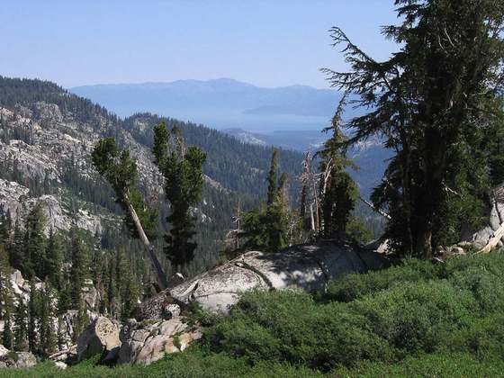
Photo: “Backbone Trail near Mishe Mokwa.jpg” by Seanydelight, CC BY-SA 3.0, via Wikimedia Commons (resized).