Trails › North America › United States
Pacific Crest Trail
7-day forecast
Open-Meteo · trail point · local dates · last updated Nov 11, 2026, 3:10 PM PTWed 11
Fog
11°C / 5°C
0% · 0.0 mm
Wind 20 km/h
GoodThu 12
Overcast
10°C / 3°C
2% · 0.0 mm
Wind 44 km/h
GoodFri 13
Heavy snow
3°C / -3°C
94% · 23.6 mm
Wind 42 km/h
PoorSat 14
Heavy snow showers
-0°C / -3°C
74% · 9.3 mm
Wind 12 km/h
PoorSun 15
Light rain
-1°C / -2°C
92% · 11.3 mm
Wind 14 km/h
PoorMon 16
Fog
0°C / -6°C
58% · 0.0 mm
Wind 7 km/h
FairTue 17
Overcast
2°C / -6°C
50% · 0.0 mm
Wind 7 km/h
FairRoute
No route line in this build. This is a very long route, so only its start point is used.
About this trail
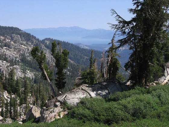
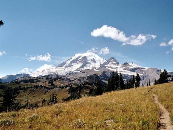
The Pacific Crest Trail (PCT), officially designated as the Pacific Crest National Scenic Trail, is a long-distance hiking and equestrian trail closely aligned with the highest portion of the Cascade and Sierra Nevada mountain ranges, which lie 100 to 150 miles east of the U.S. Pacific coast. The trail's southern terminus is next to the Mexico–United States border, just south of Campo, California, and its northern terminus is on the Canada–US border, upon which it continues unofficially to the Windy Joe Trail within Manning Park in British Columbia; it passes through the states of California, Oregon, and Washington.
From the Wikipedia article “Pacific Crest Trail”, CC BY-SA 4.0.
Trail facts
- Length
- 4,240 km · 2,635 mi (Wikidata)
- Countries
- United States
- Continent
- North America
- Trail point
- 42.00380, -122.91000 (Wikidata coordinate)
- Wikidata
- Q2003736
- OpenStreetMap
- relation 1225378
- Official info
- pcta.org
Hiked it?
Log this hikeAdd a GPX file for the Verified Track badge. The first and last 500 m are trimmed off before anything is measured, and the file itself is not kept.
Photo: “Ritter Range Pacific Crest Trail.jpg” by Steve Dunleavy from Lake Tahoe, NV, United States, CC BY 2.0, via Wikimedia Commons (resized).