7-day forecast
Open-Meteo · trail point · local dates · last updated Nov 11, 2026, 3:10 PM PTThu 12
Light rain
6°C / 3°C
100% · 6.2 mm
Wind 4 km/h
PoorFri 13
Light rain
5°C / -4°C
93% · 4.5 mm
Wind 10 km/h
PoorSat 14
Clear sky
4°C / -5°C
0% · 0.0 mm
Wind 4 km/h
GoodSun 15
Overcast
3°C / -3°C
19% · 0.1 mm
Wind 4 km/h
GoodMon 16
Light snow
2°C / -2°C
29% · 5.8 mm
Wind 5 km/h
FairTue 17
Light rain
5°C / -1°C
44% · 0.4 mm
Wind 8 km/h
FairWed 18
Light rain
4°C / 1°C
75% · 16.0 mm
Wind 10 km/h
PoorRoute
Route line © OpenStreetMap contributors (ODbL), simplified. Dot: trail point.
About this trail
Alta Via 1 is a 125-kilometre-long high-level public footpath which runs through the eastern Dolomites in Italy. It is also known as the Dolomite High Route 1. It passes through some of the finest scenery in the Dolomites. The path runs south from Pragser Wildsee, near Toblach, to Belluno. Prags can be accessed by bus, and Belluno has both train and bus services.
From the Wikipedia article “Alta Via 1”, CC BY-SA 4.0.
Trail facts
- Length
- 125 km · 78 mi (Wikidata)
- Countries
- Italy
- Continent
- Europe
- Trail point
- 46.69772, 12.08400 (Wikidata coordinate)
- OSM network
- Regional walking network
- Wikidata
- Q1236280
- OpenStreetMap
- relation 177743
Hiked it?
Log this hikeAdd a GPX file for the Verified Track badge. The first and last 500 m are trimmed off before anything is measured, and the file itself is not kept.
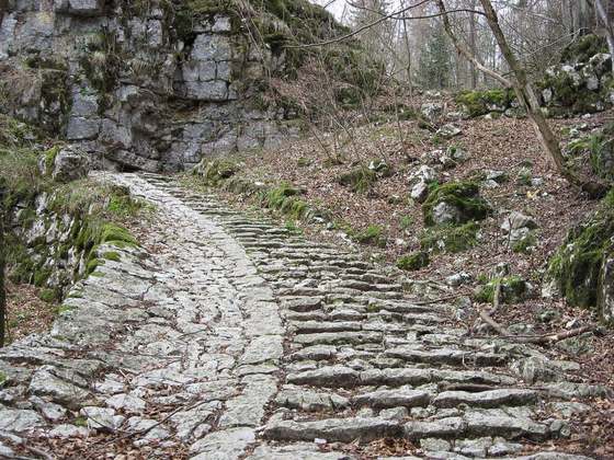
Photo: “Tofana CinqueTorri 20170725.jpg” by Ka23 13, CC BY-SA 4.0, via Wikimedia Commons (resized).